
Photo Journal: Cross Timbers Trail at Lake Texoma
I recently (early March) went for a near 10 mile hike at Cross Timbers Trail at Lake Texoma. The trail begins at Juniper Point in Gordonville, Texas and continues West for roughly 14.5 miles one way. Primitive camping is available along the trail and backpacking is allowed without a need for a permit. There are several points where you can park and from which you can hike, including Juniper Point (free parking), Cedar Bayou Marina ($5 parking fee) and Rock Creek ($12 parking fee). The trail is rated moderate and has decent elevation changes.
For more information: https://www.facebook.com/CrossTimbersHikingTrail/ and
https://www.alltrails.com/trail/us/texas/cross-timbers-hiking-trail
Happy exploring!
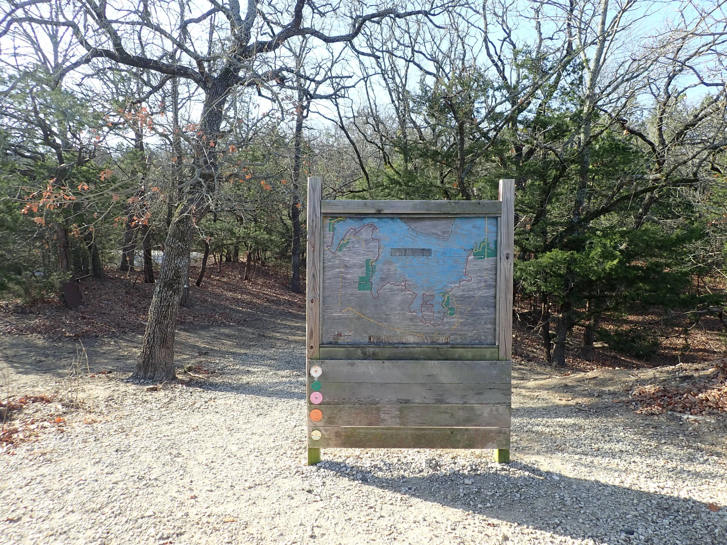
The “trail map” at Juniper Point. Not quite helpful, but you can download the map from the AllTrails app or practice your navigation skills. Be warned… cell service is not always available, so accessing a map through data is not always possible.

My friend Rachel and I at the start of the trail.

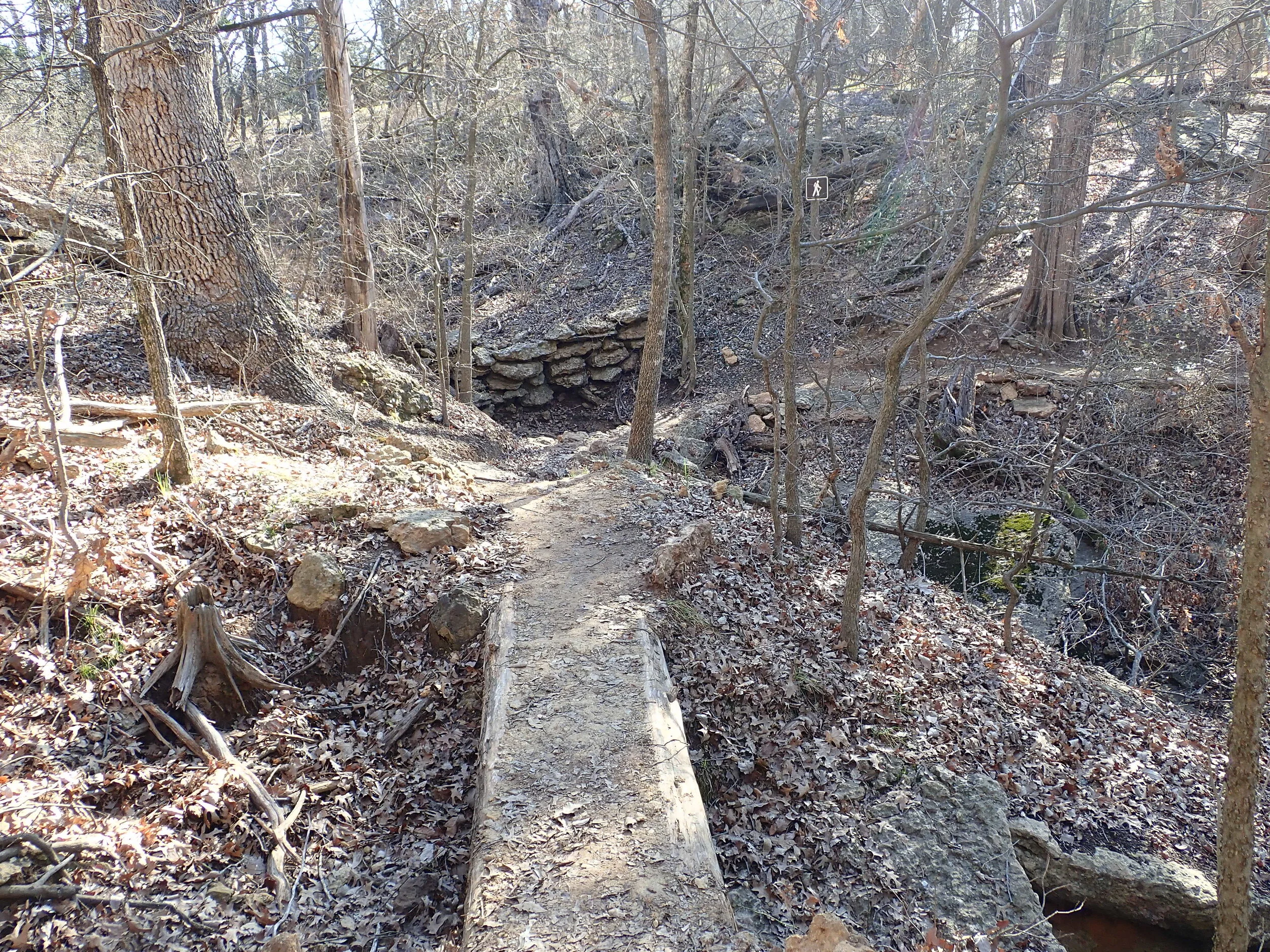
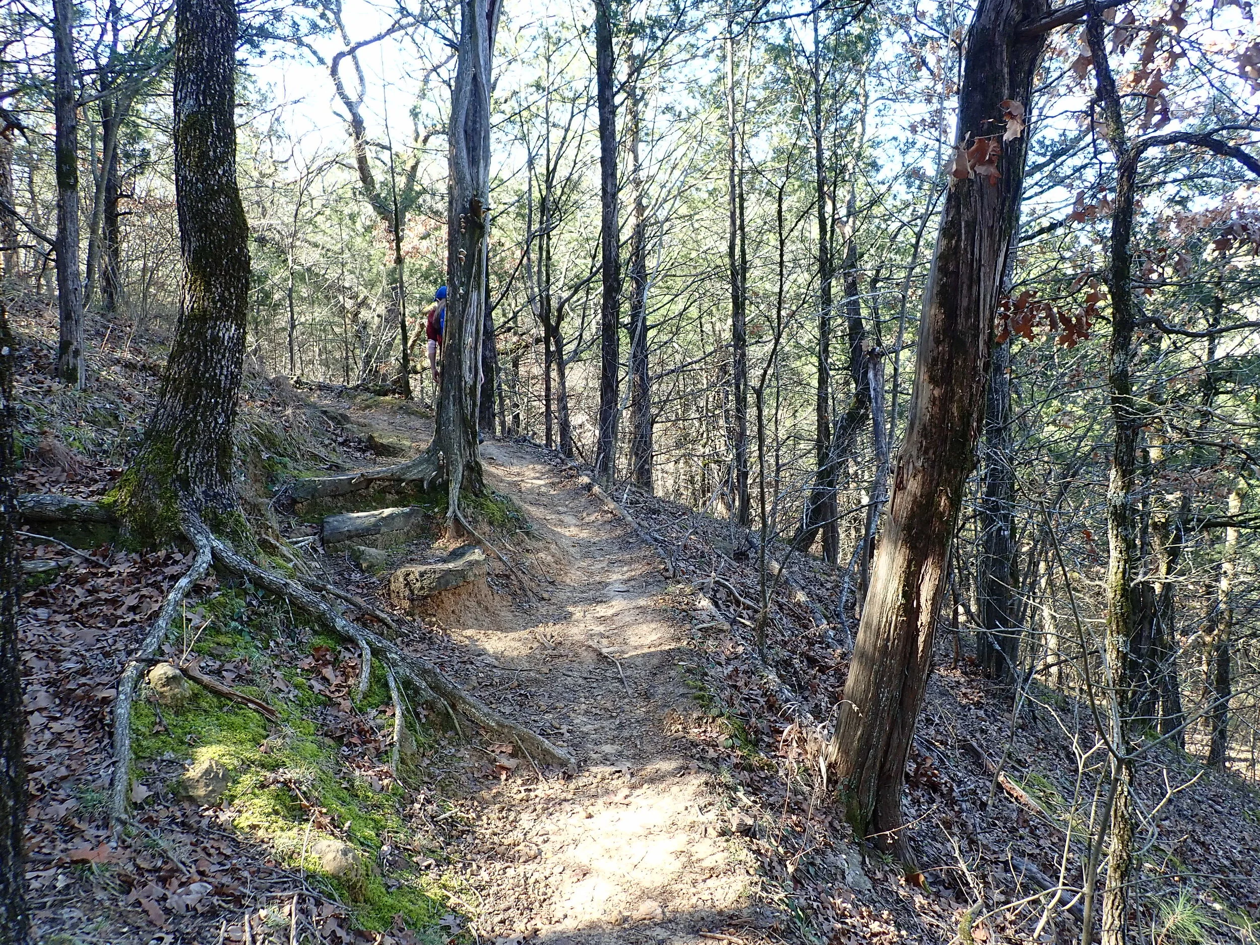
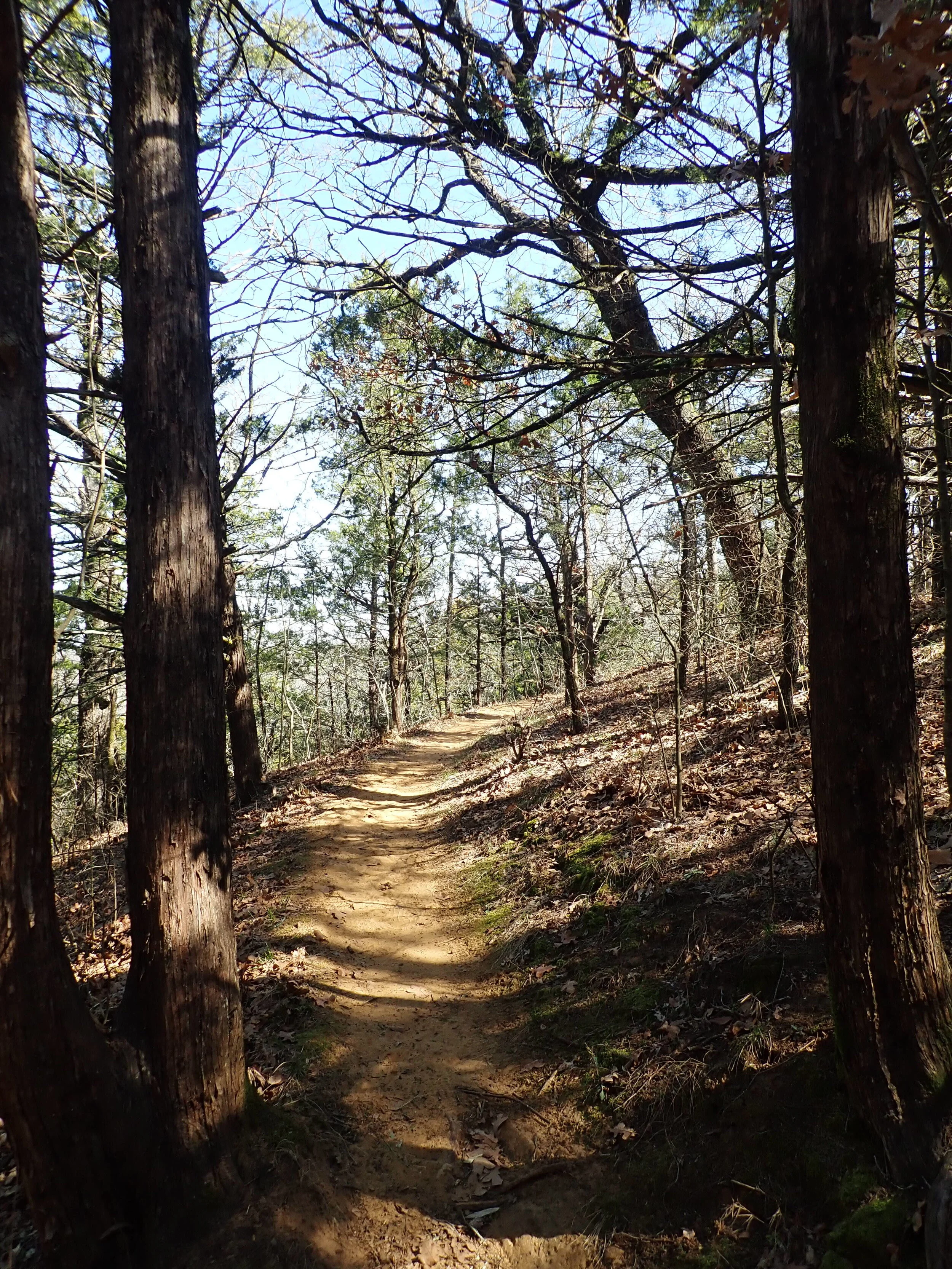
In my opinion, the trail is well marked with blazes as shown in this photo.
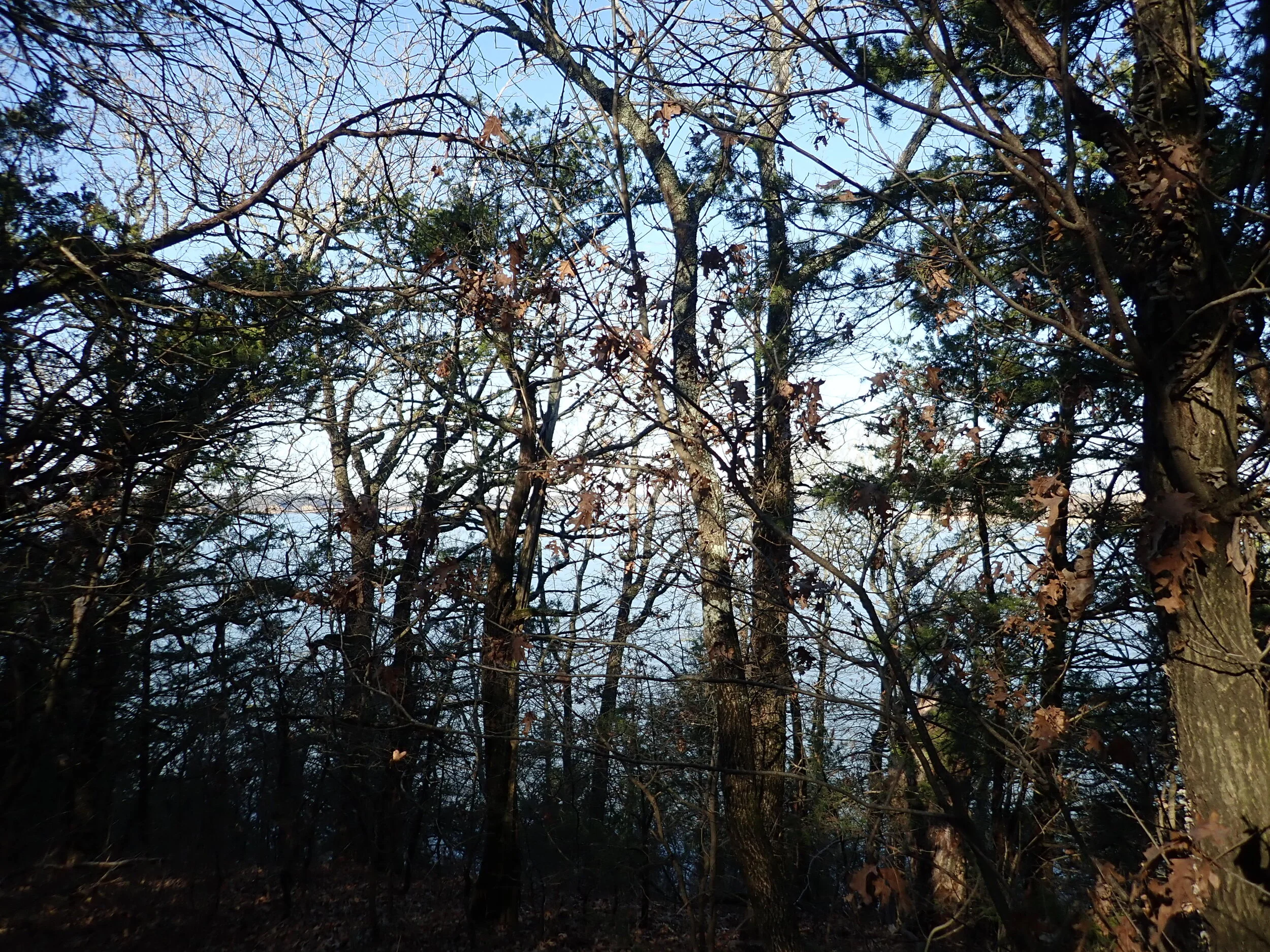
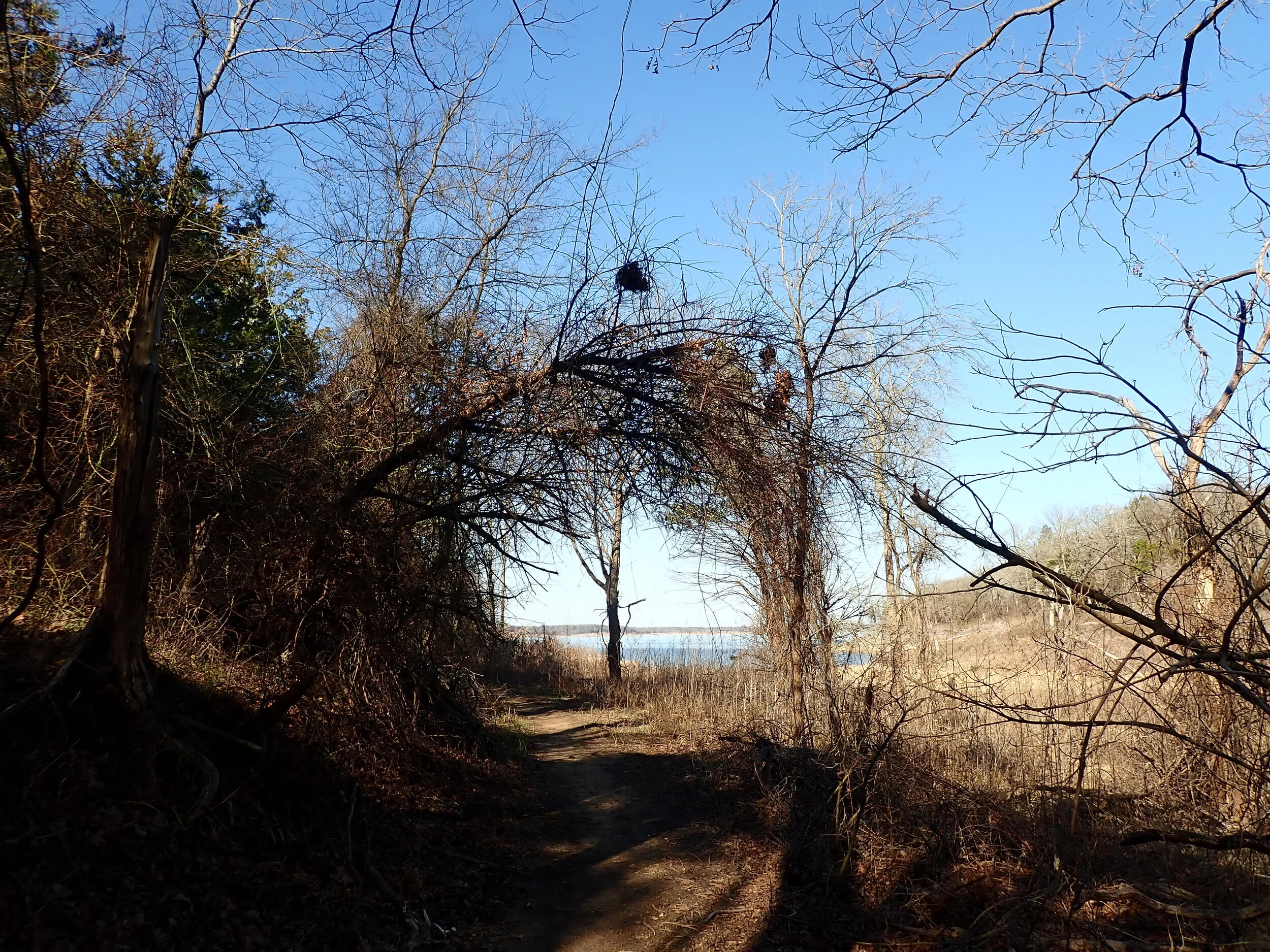
You catch glimpses of the lake through the trees before getting a full view
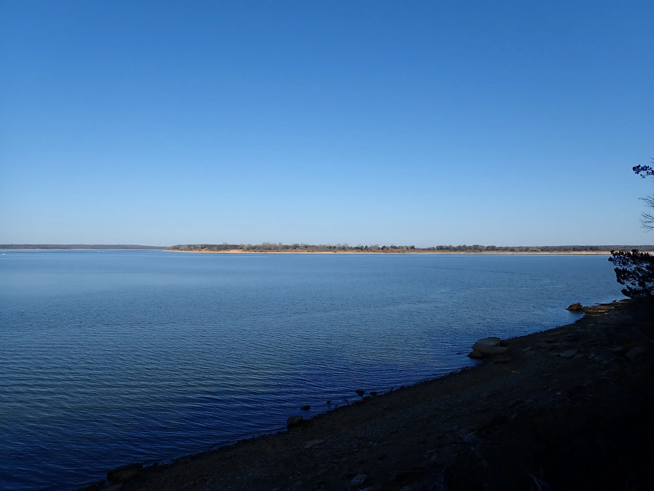
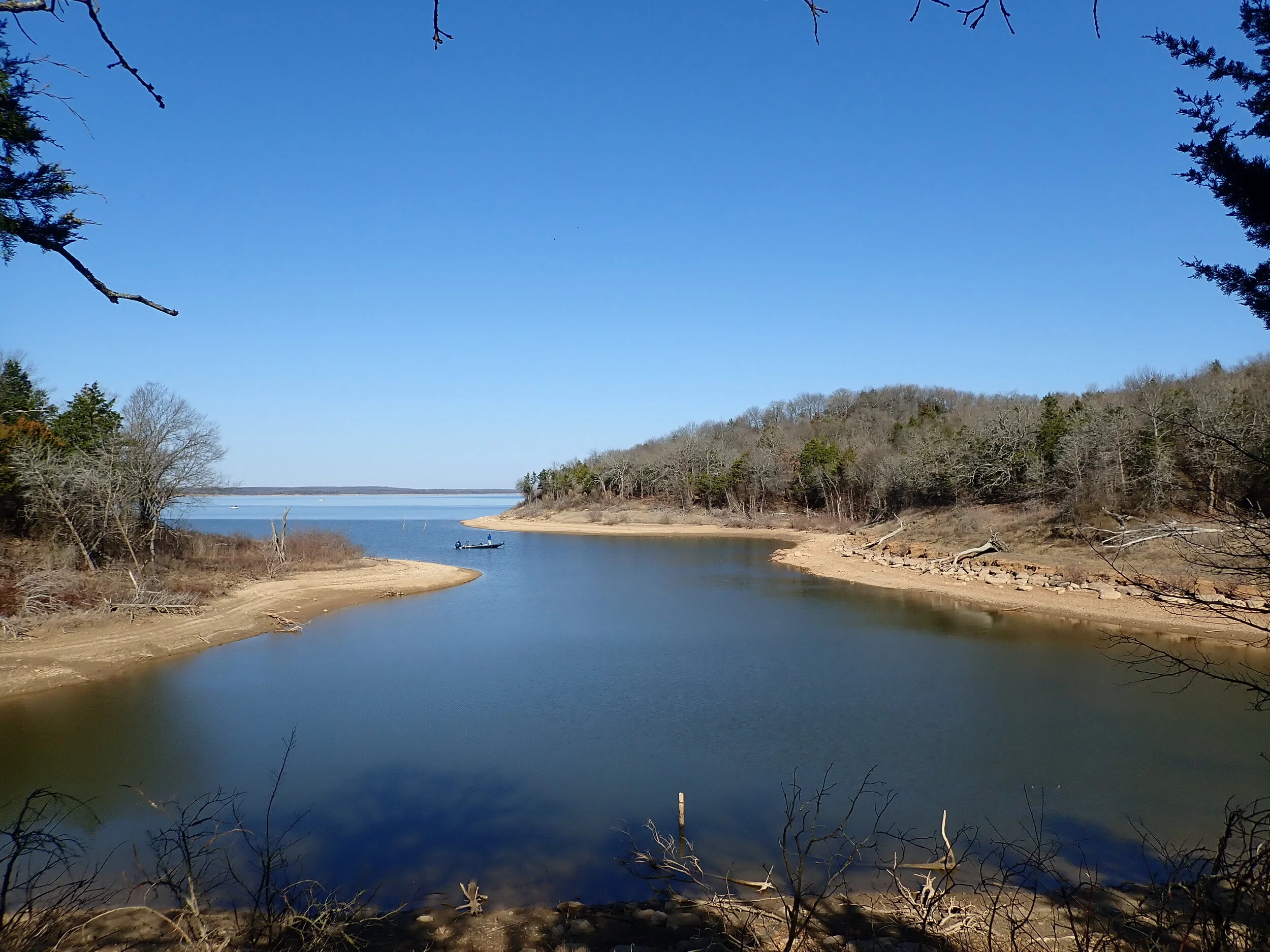
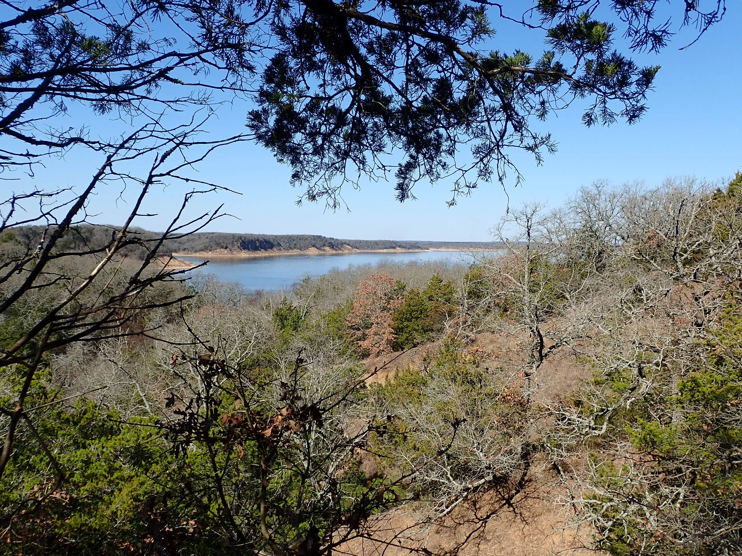
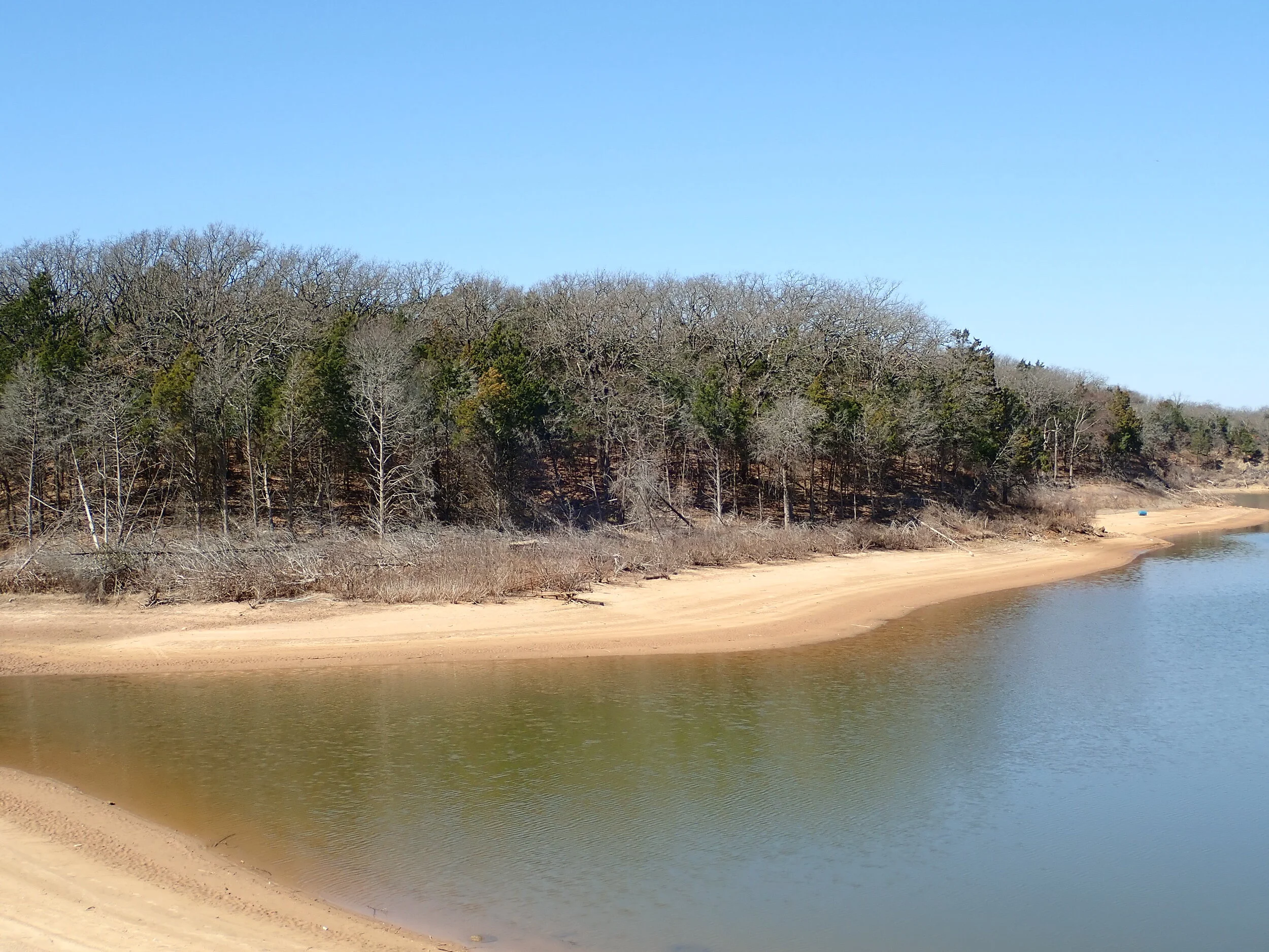
Beautiful views of Lake Texoma

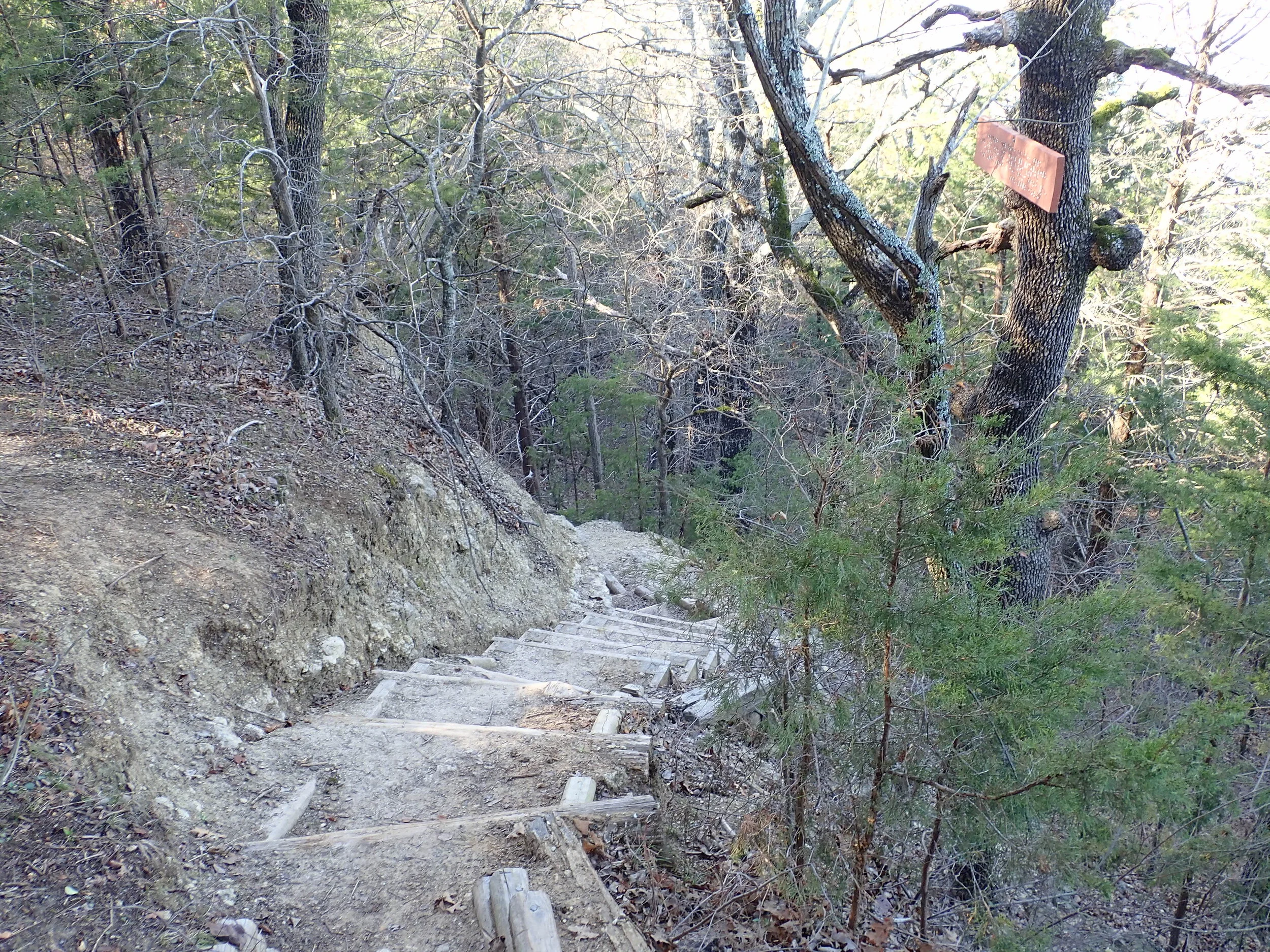
Up, up, up!
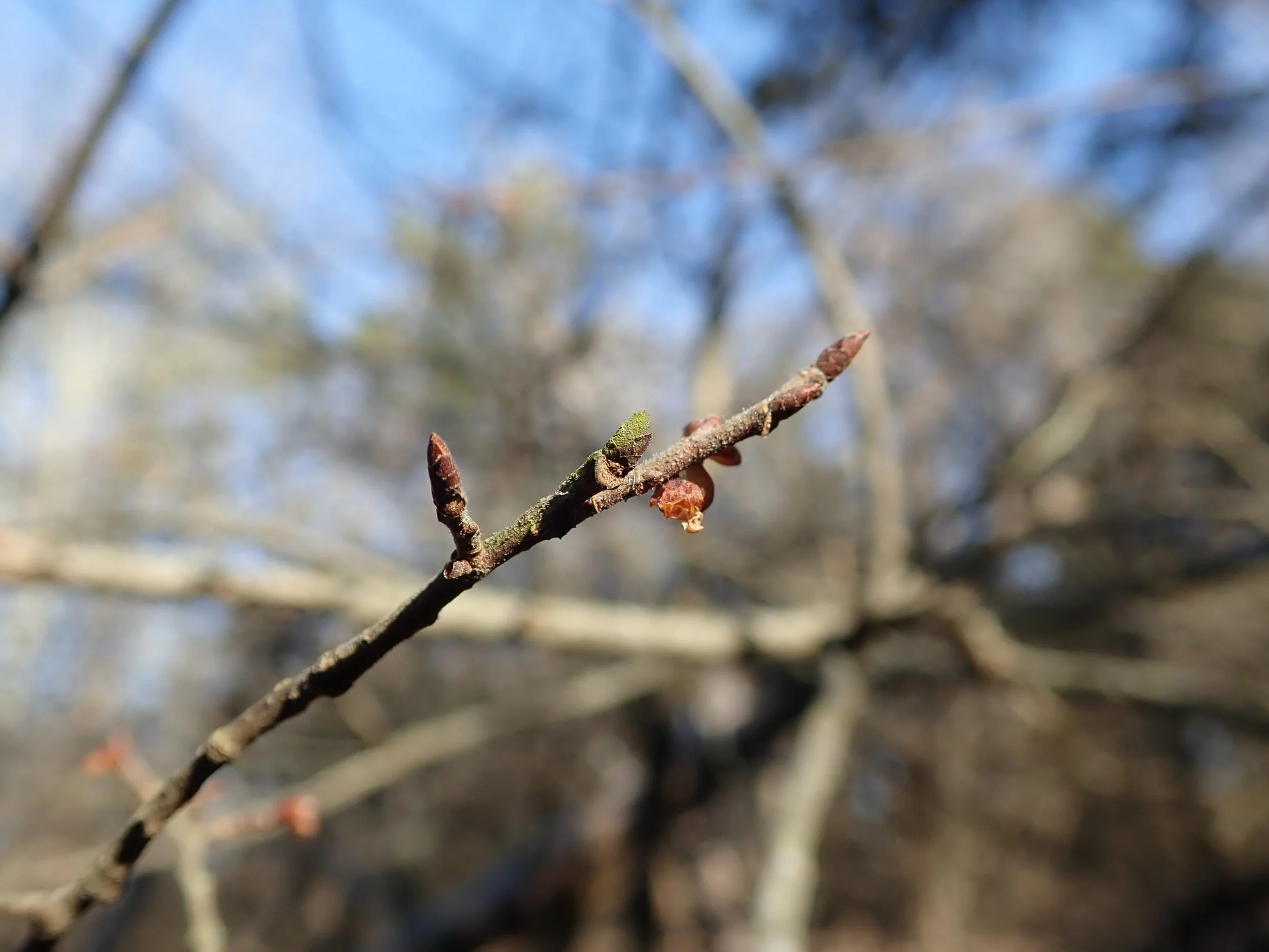
Early signs of Spring!

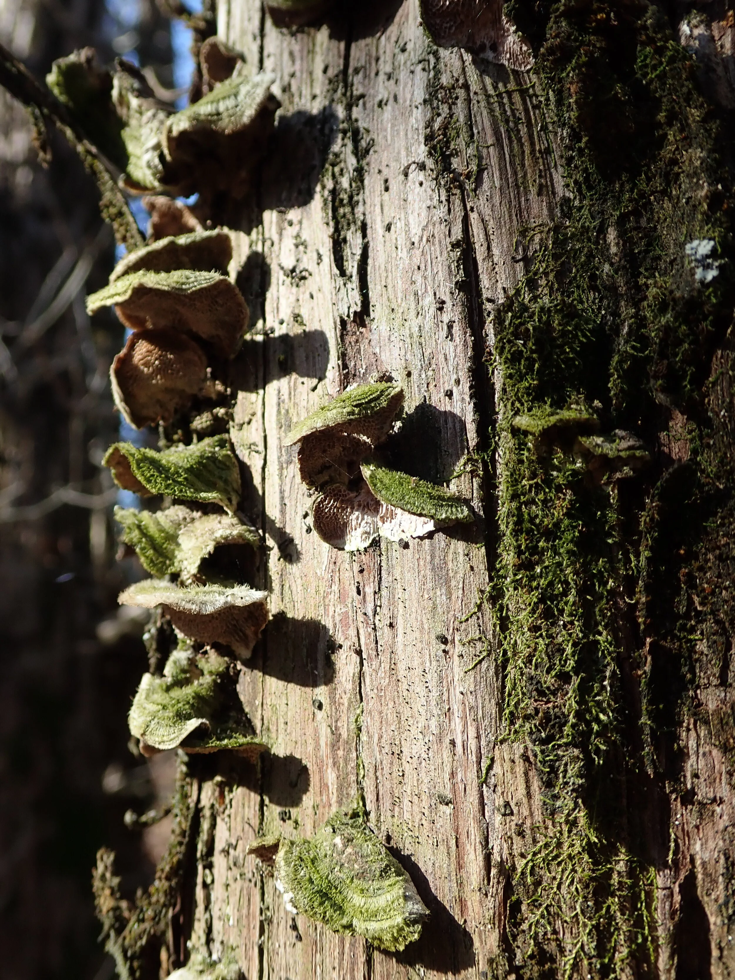
Hello life!
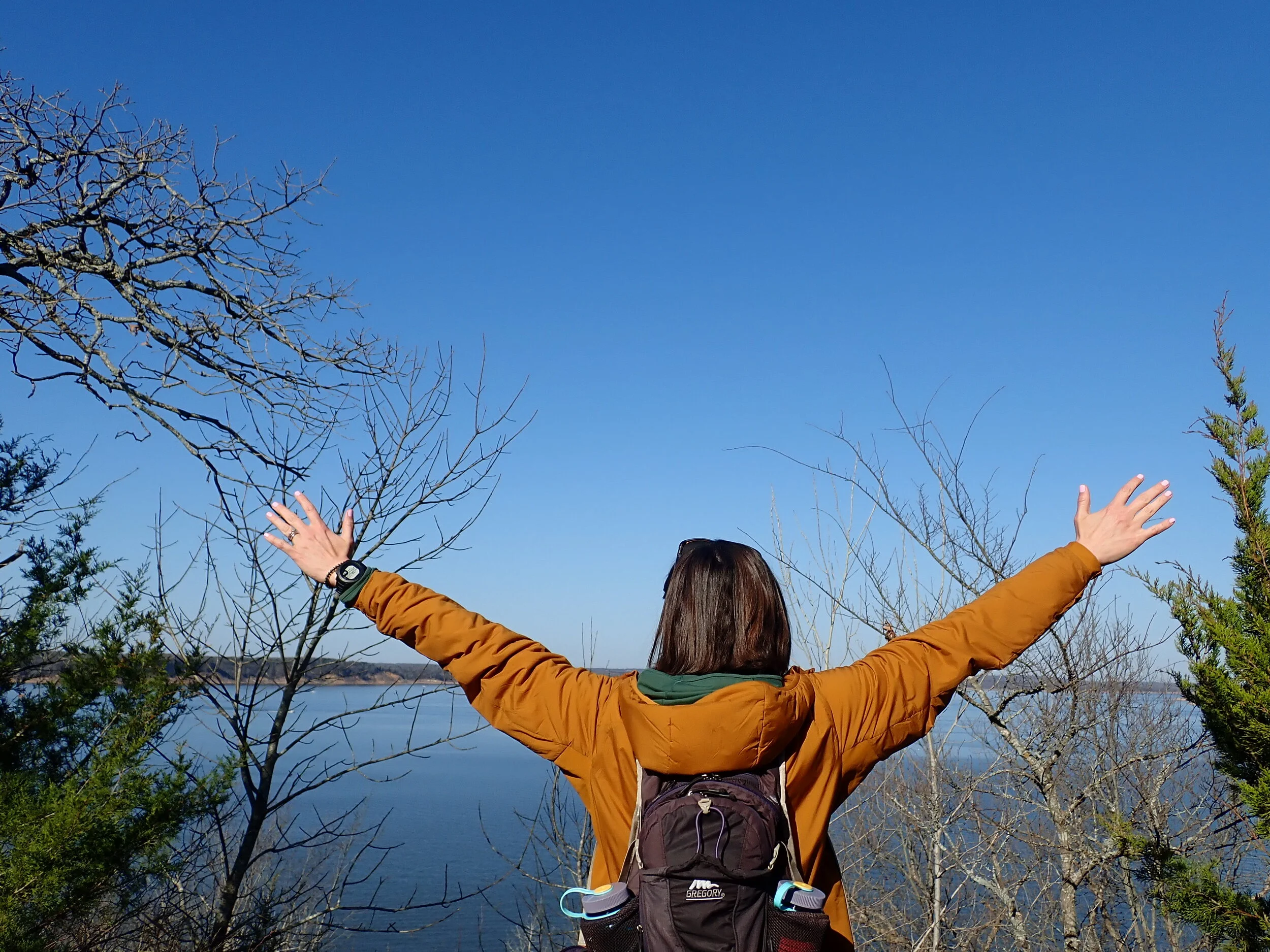
“A good day can carry you for a long time.”
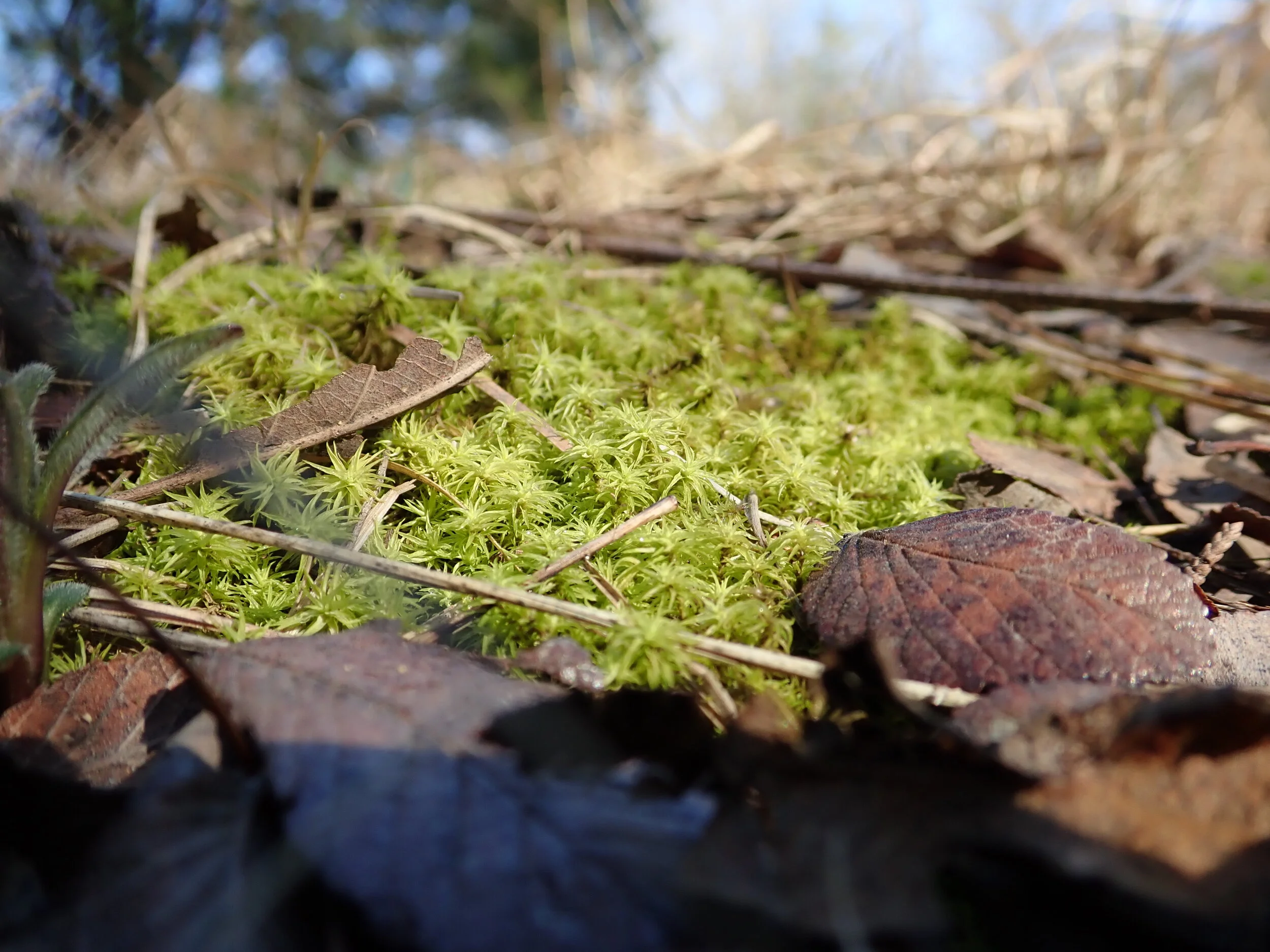
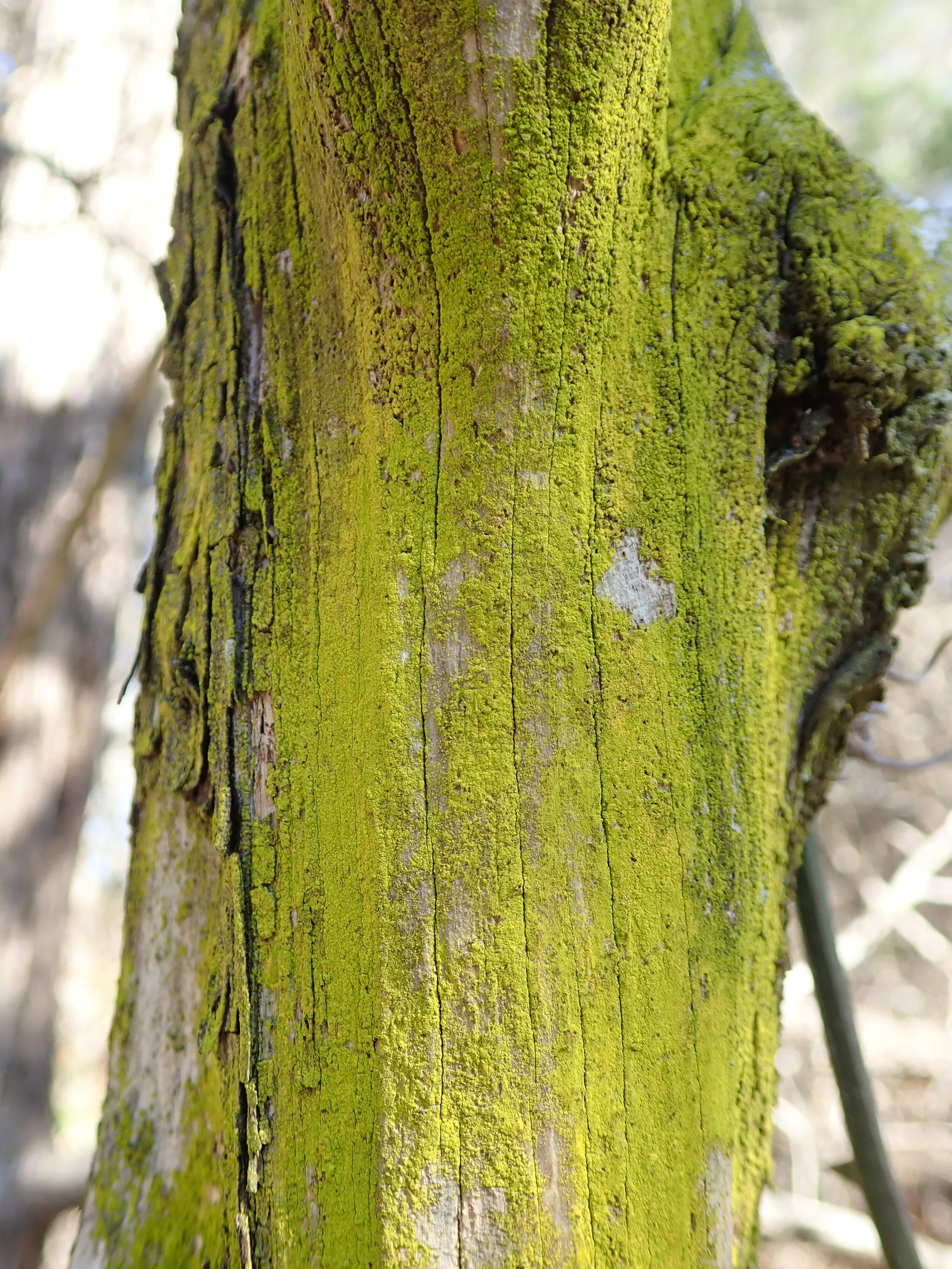
This might be the brightest green I have ever seen in nature

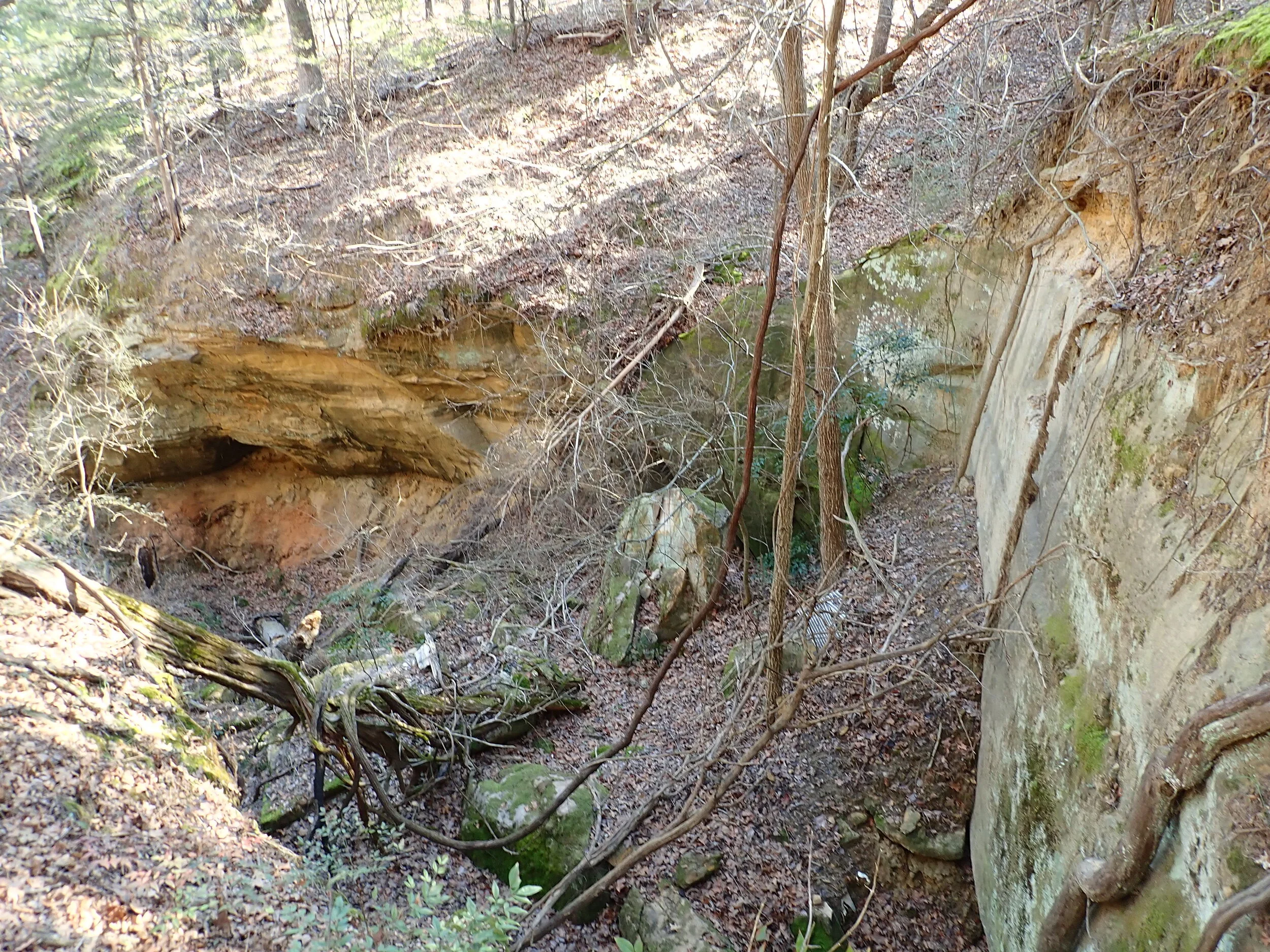
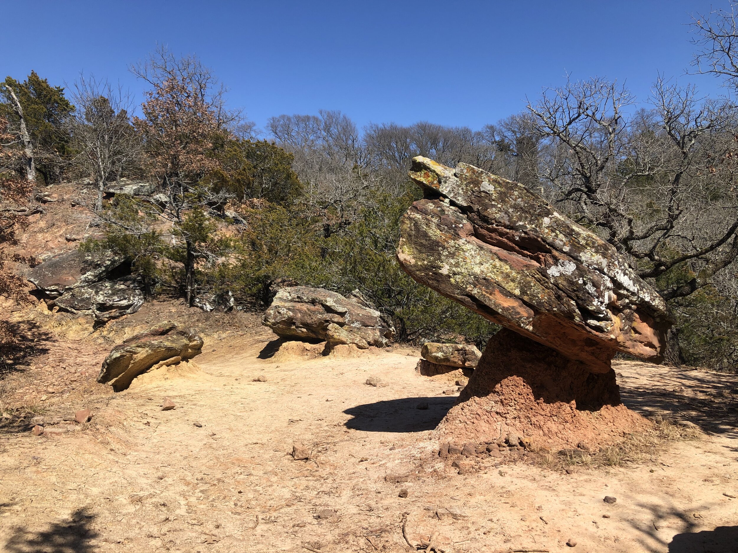
When it splits, take the high road! The views are worth it and pictures don’t do it justice. This was a canyon like crevasse.
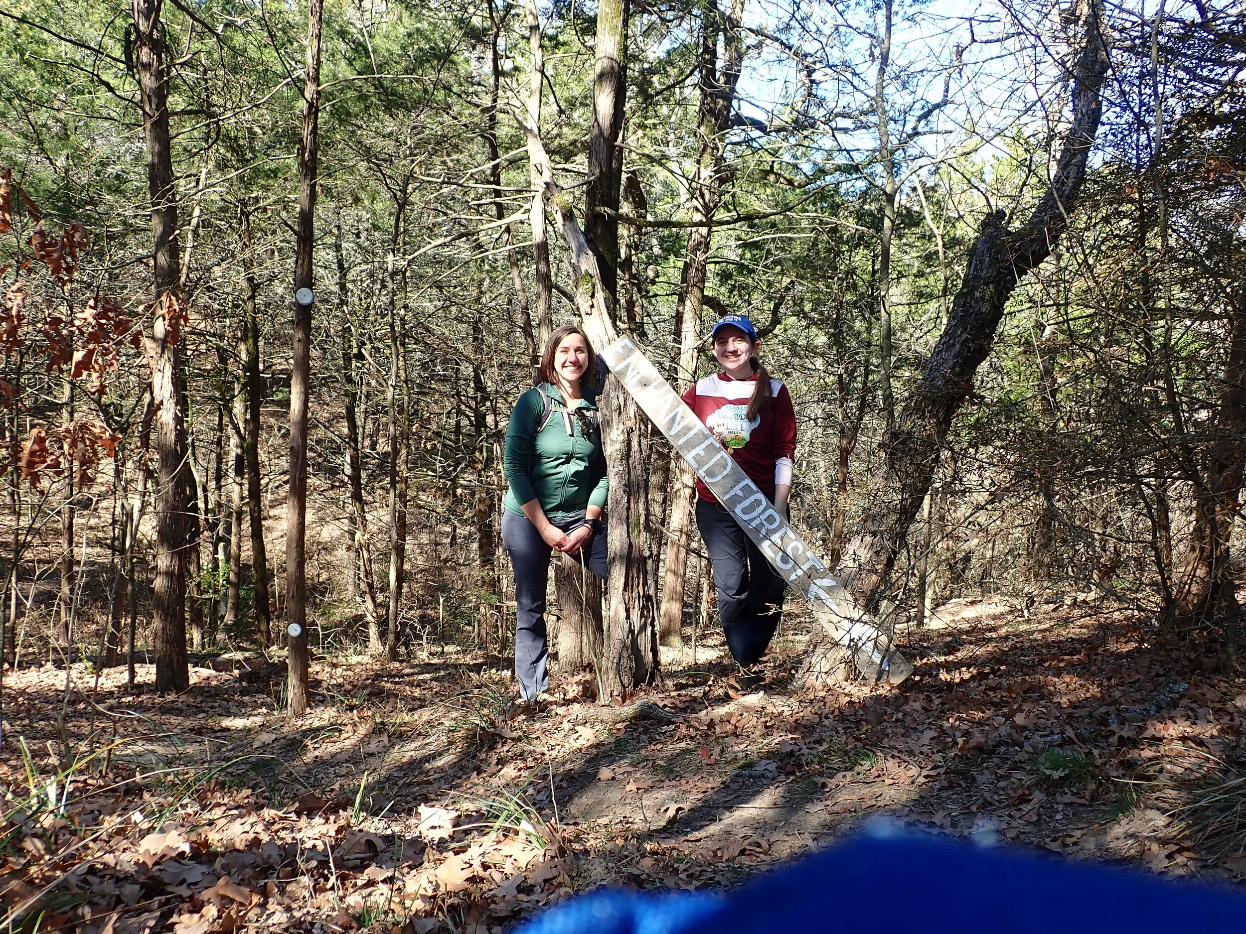
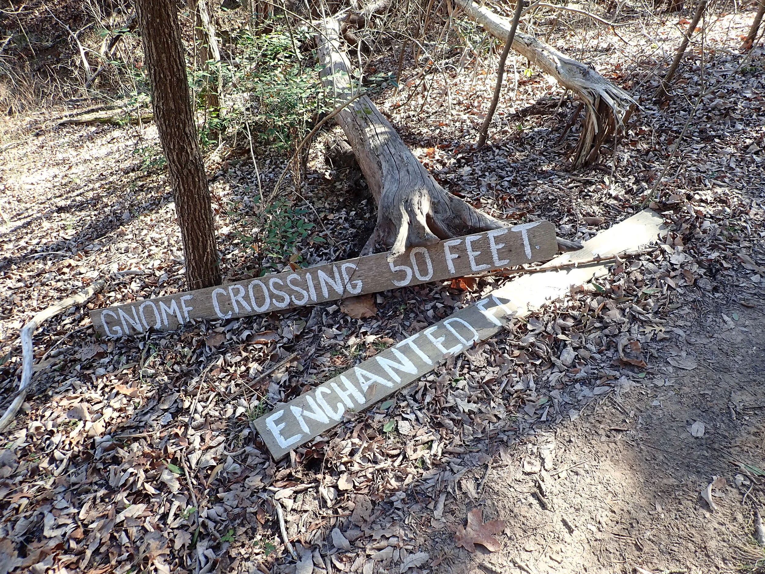
We were excited and this section of the trail truly is enchanted
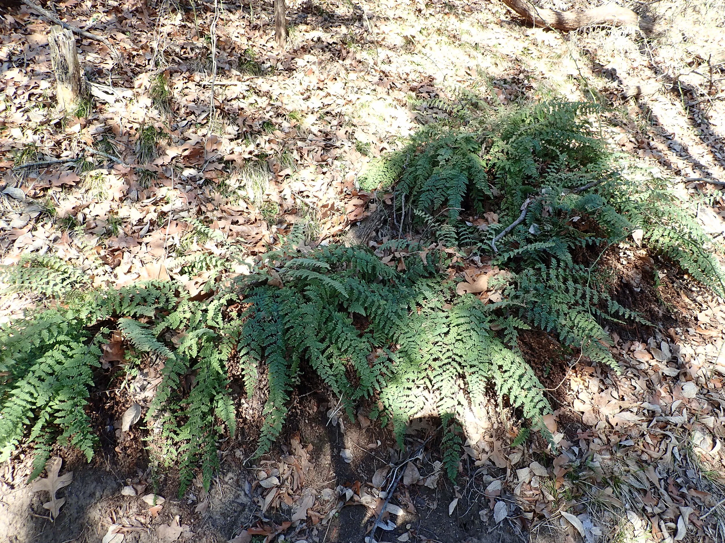
Fern Grotto… just beginning to come back to life after Winter!
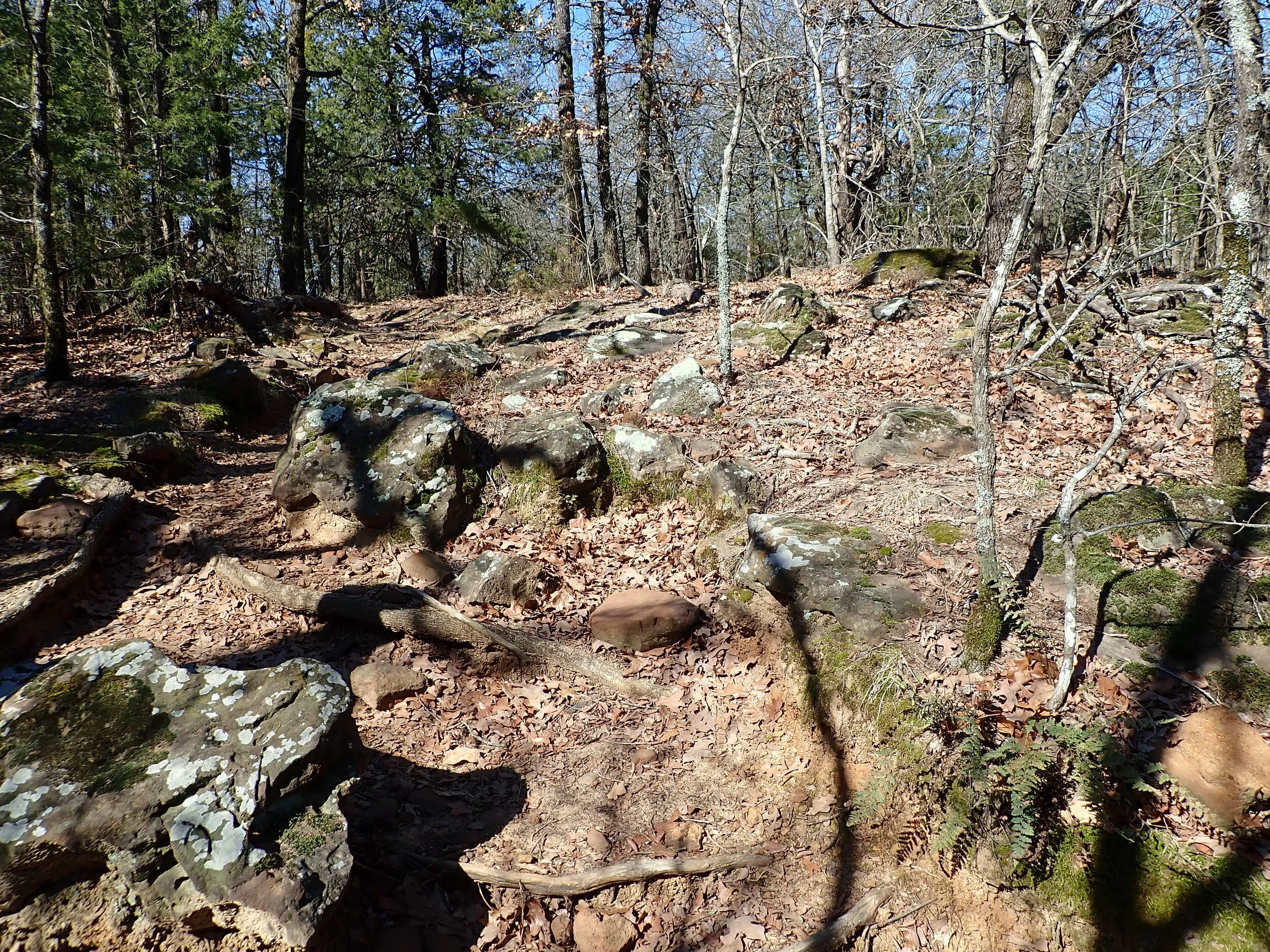
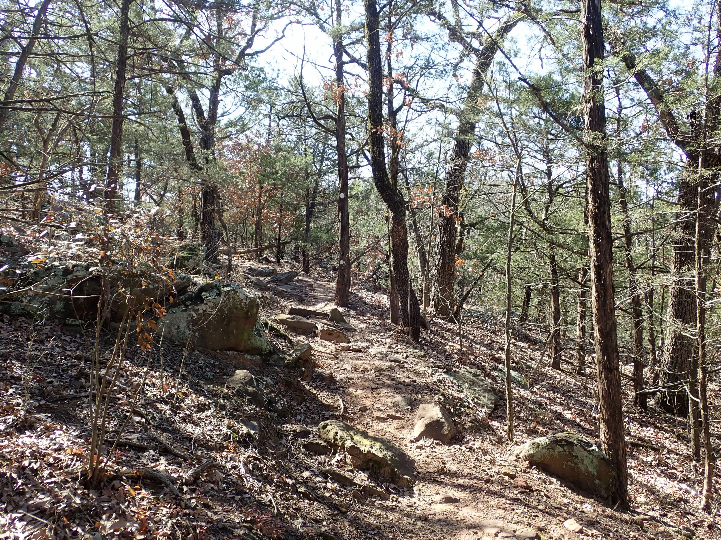
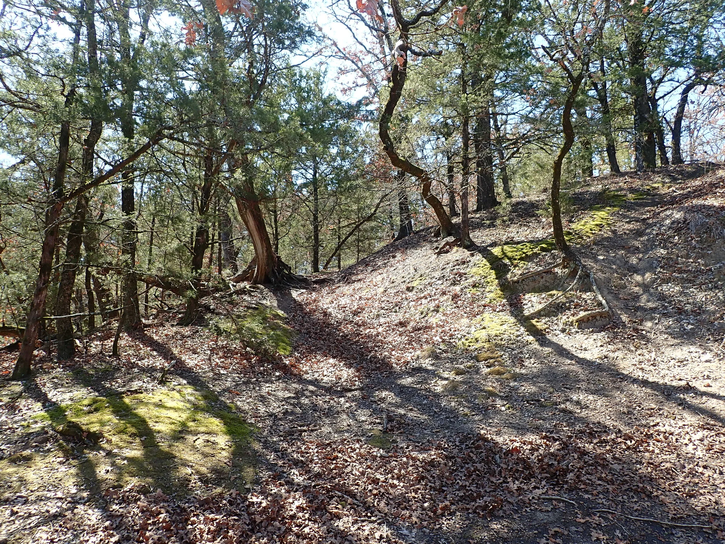
Rocky terrain, much like hiking in Arkansas
Beautiful views
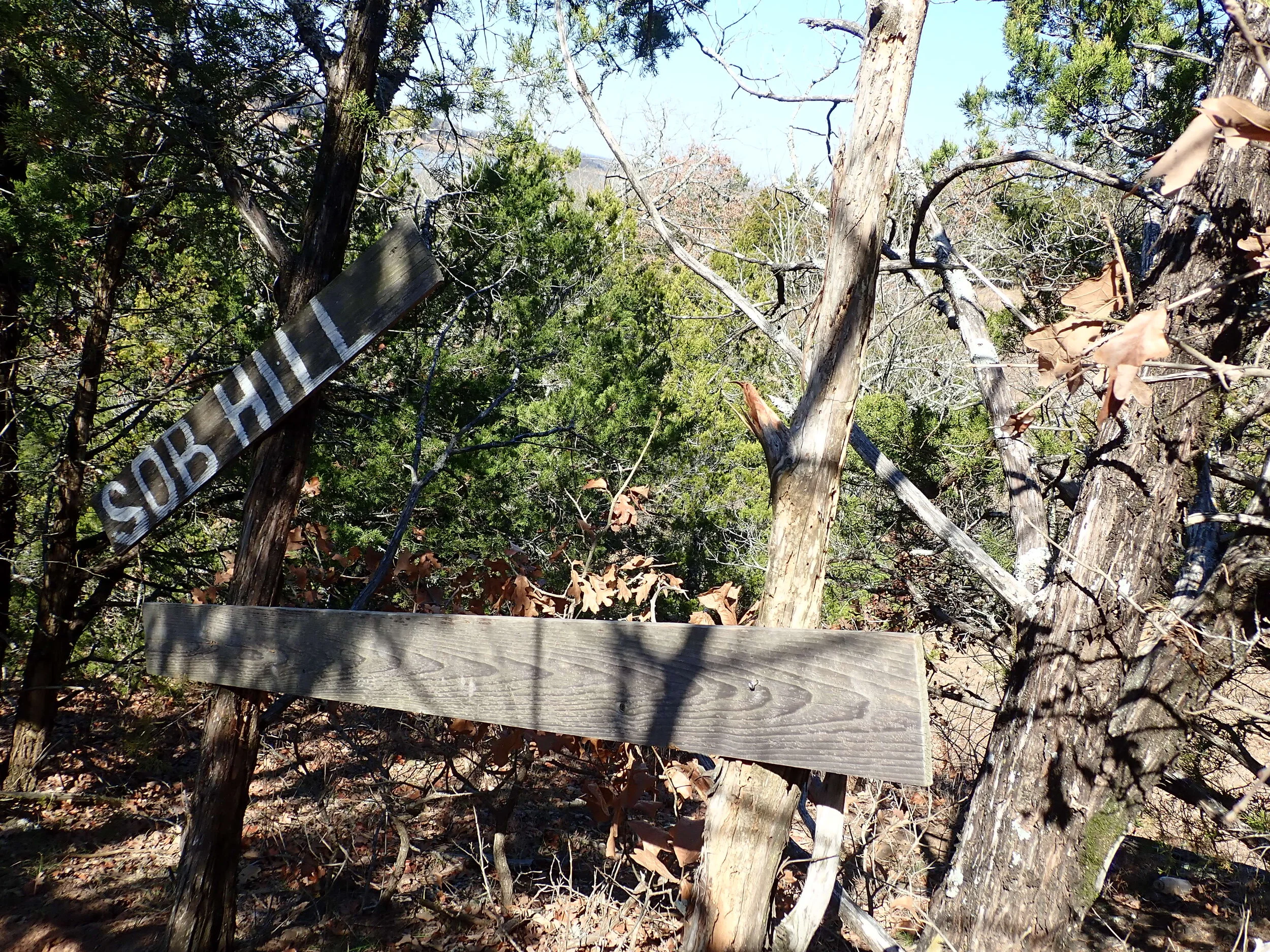
There’s a reason it’s called Sob Hill…
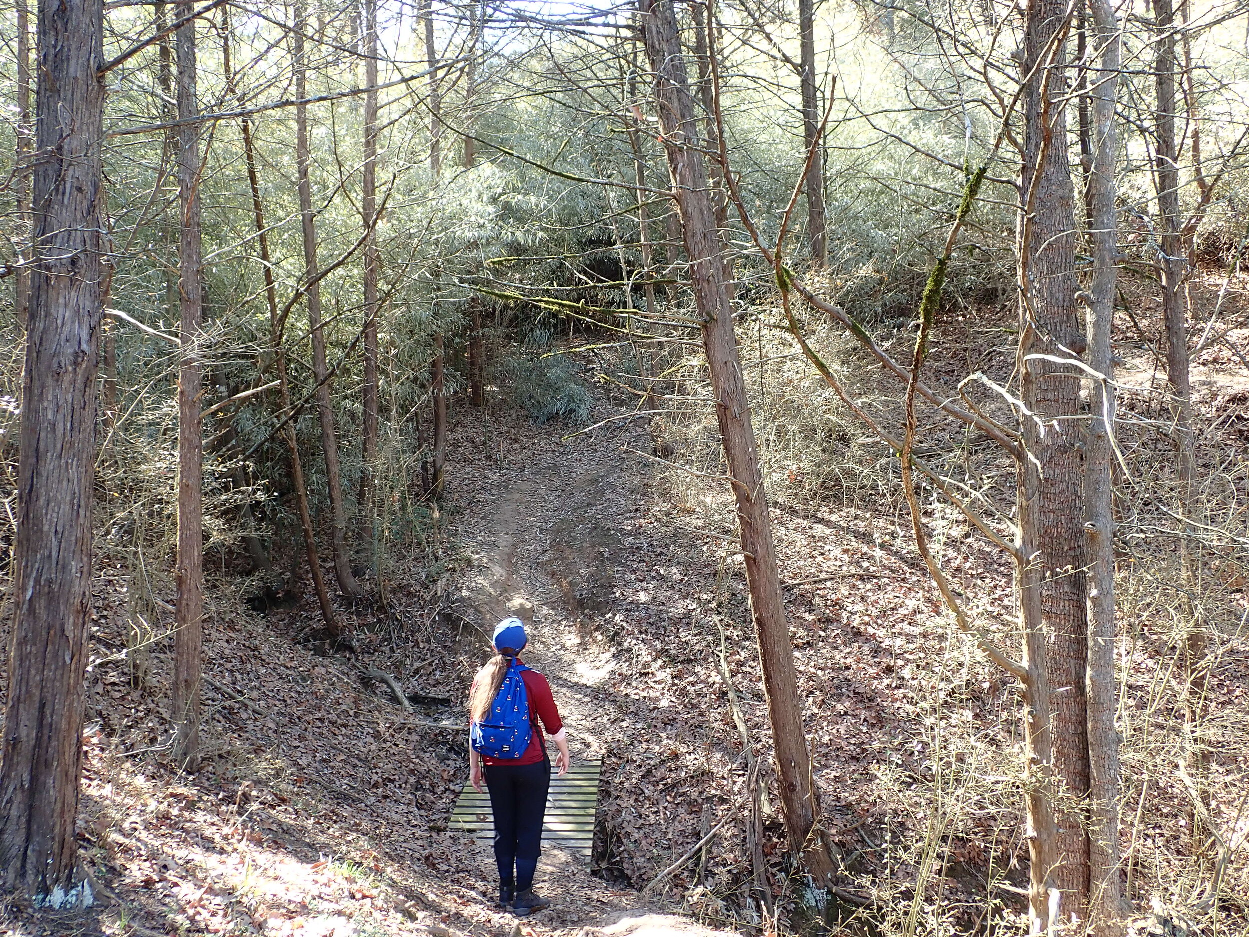
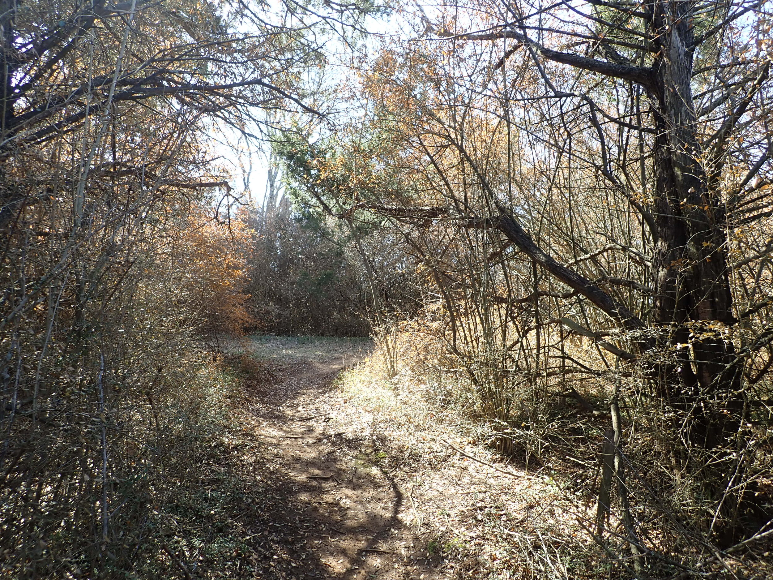
The bamboo forest

Hiking and mountain biking is permitted. If you ask me, it likely requires a great deal of skill to mountain bike this trail.


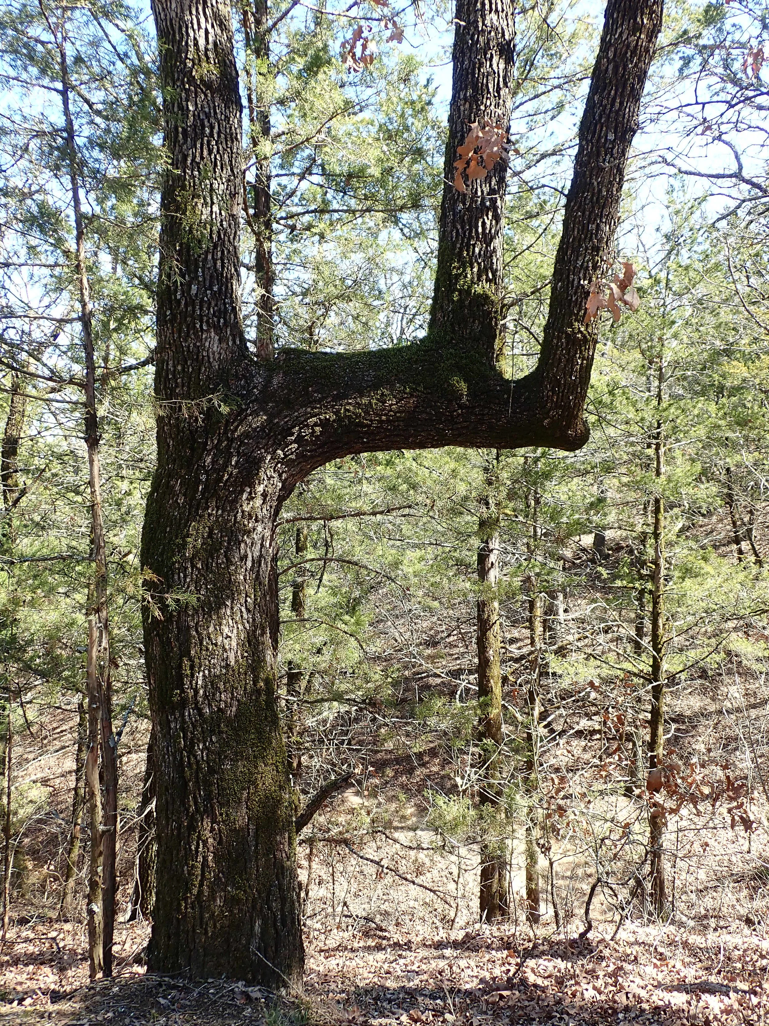
An unique sight.. maybe a “trail tree?” https://www.treehugger.com/trail-trees-living-native-american-legacy-4862242

We selected a slightly different route on the return and the trail followed the lake, looking toward Oklahoma.