
Photo Journal: Northshore Trail - Murrell Park
We recently visited the popular Northshore Trail along Lake Grapevine in Flower Mound. This is over a 22 mile mountain biking and hiking trail. There are several entry points and the available information online can be a bit confusing. After doing some research, we parked at Murrell Park and hiked Loop 1 and Loop 5, which was a little over 5.5mi and took approximately two hours to hike with plenty of stops for photos. A photo map of the trail is included below. Free parking is also available at the MADD Shelter. Paid parking is available at Rockledge Park or Twin Coves.
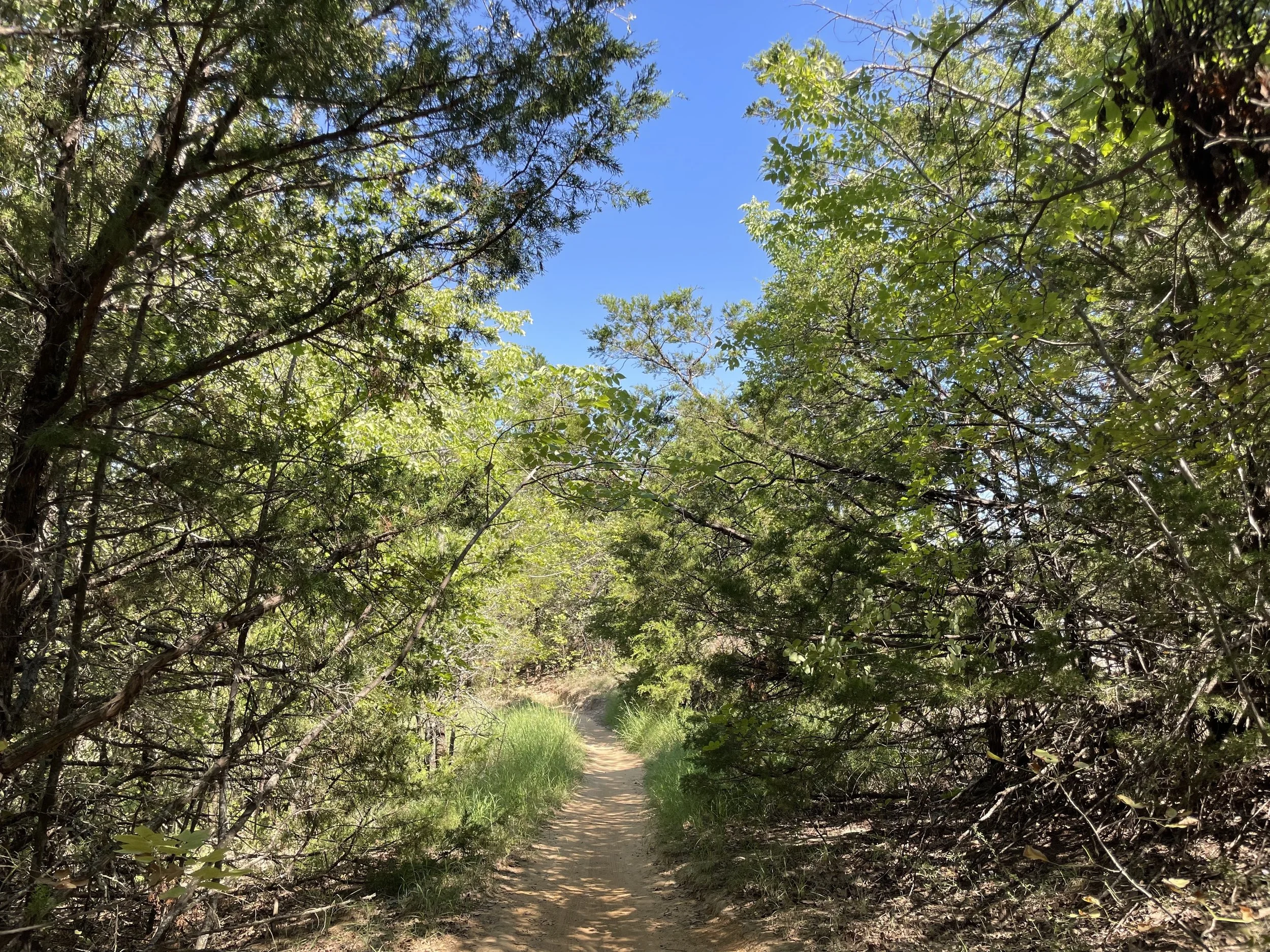
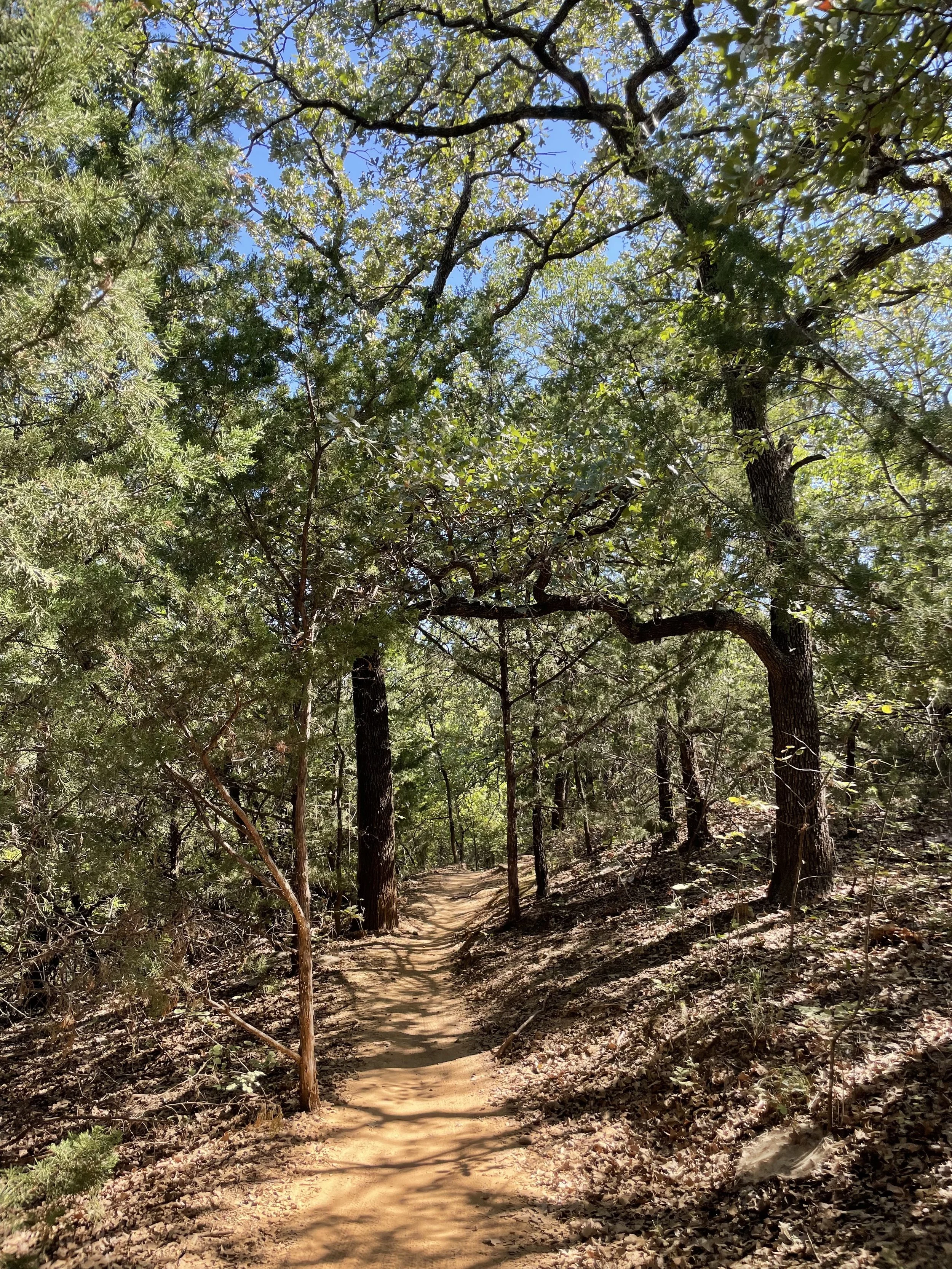
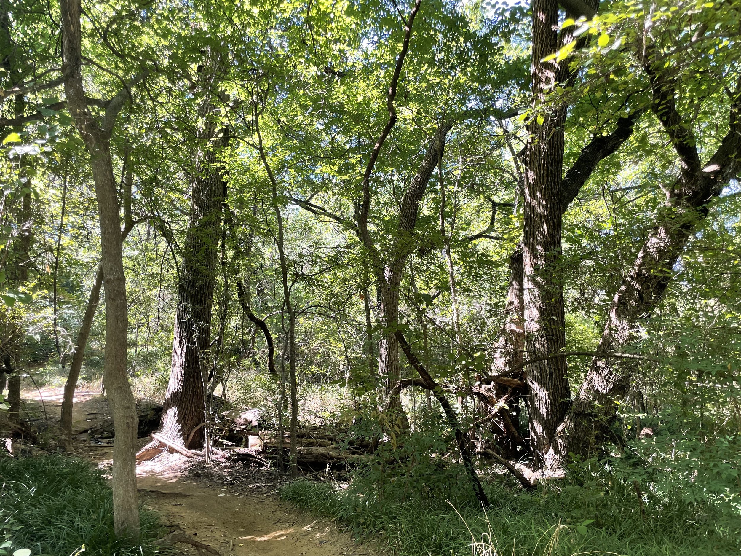
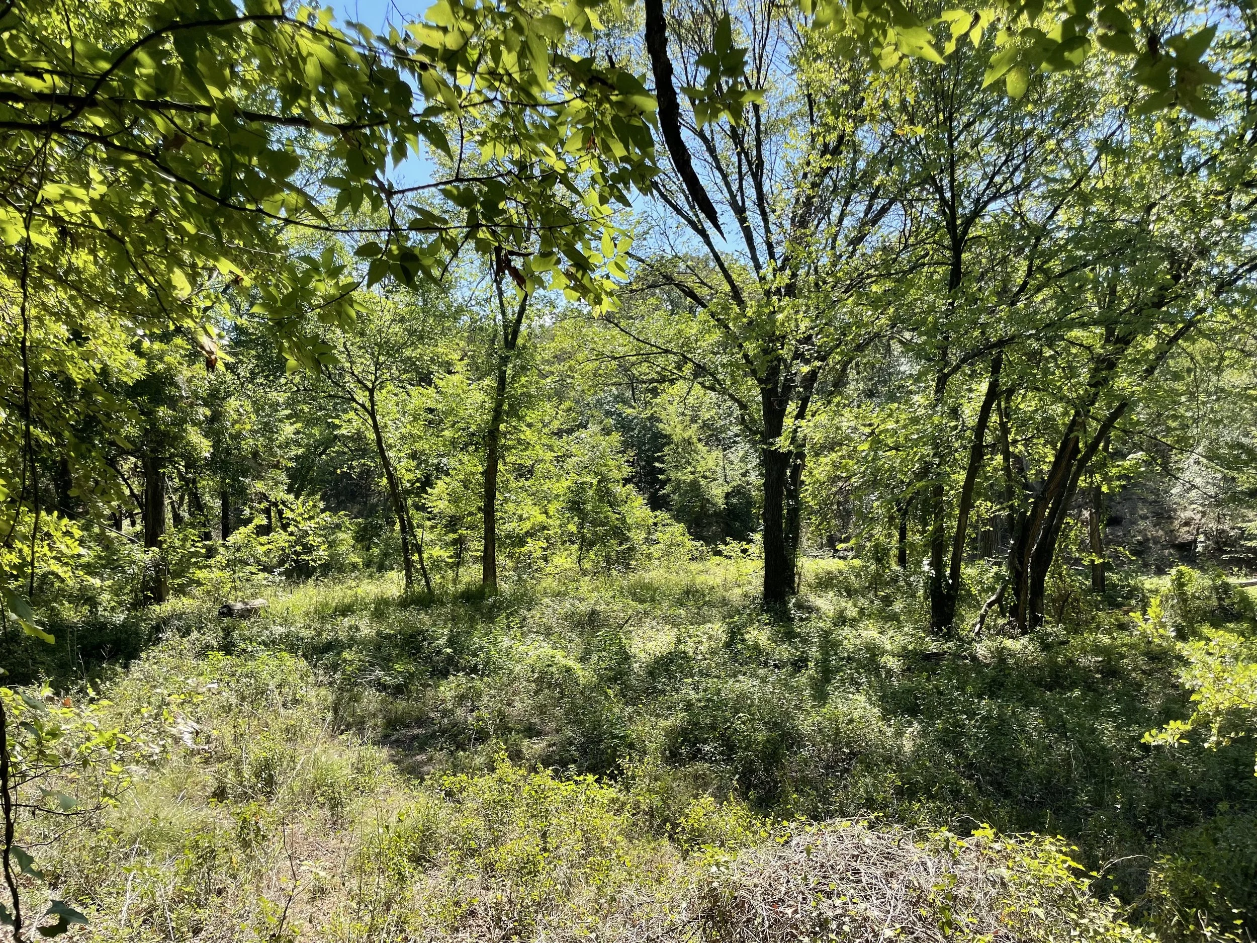
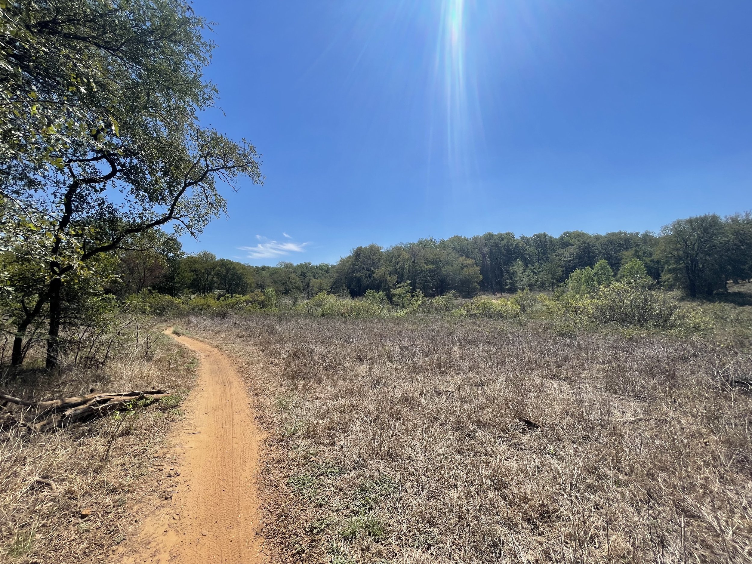
The trail is fairly shaded, making it an especially nice place to hike on warmer days. There is slight elevation change over the course of the trail with various ups and downs, but most changes are gradual. We saw a few white-tailed deer, countless Texas Spiny Lizards, and Great Blue Herons. The trail is comprised of sand and dirt and has trip hazards of rocks and roots. We will definitely be back to explore again and other sections of the trail!
Note: The trail is excellently maintained and marked by DORBA (Dallas Offroad Bike Association). Bicycles have the right of way. Dogs are allowed on a leash, though parts of the trails are narrow and it can be difficult to move aside for bikes with a pet.
For more information about the park, visit the park website.
Happy exploring!

The most helpful map I found was at the MADD Shelter.

Views from Murrell Park
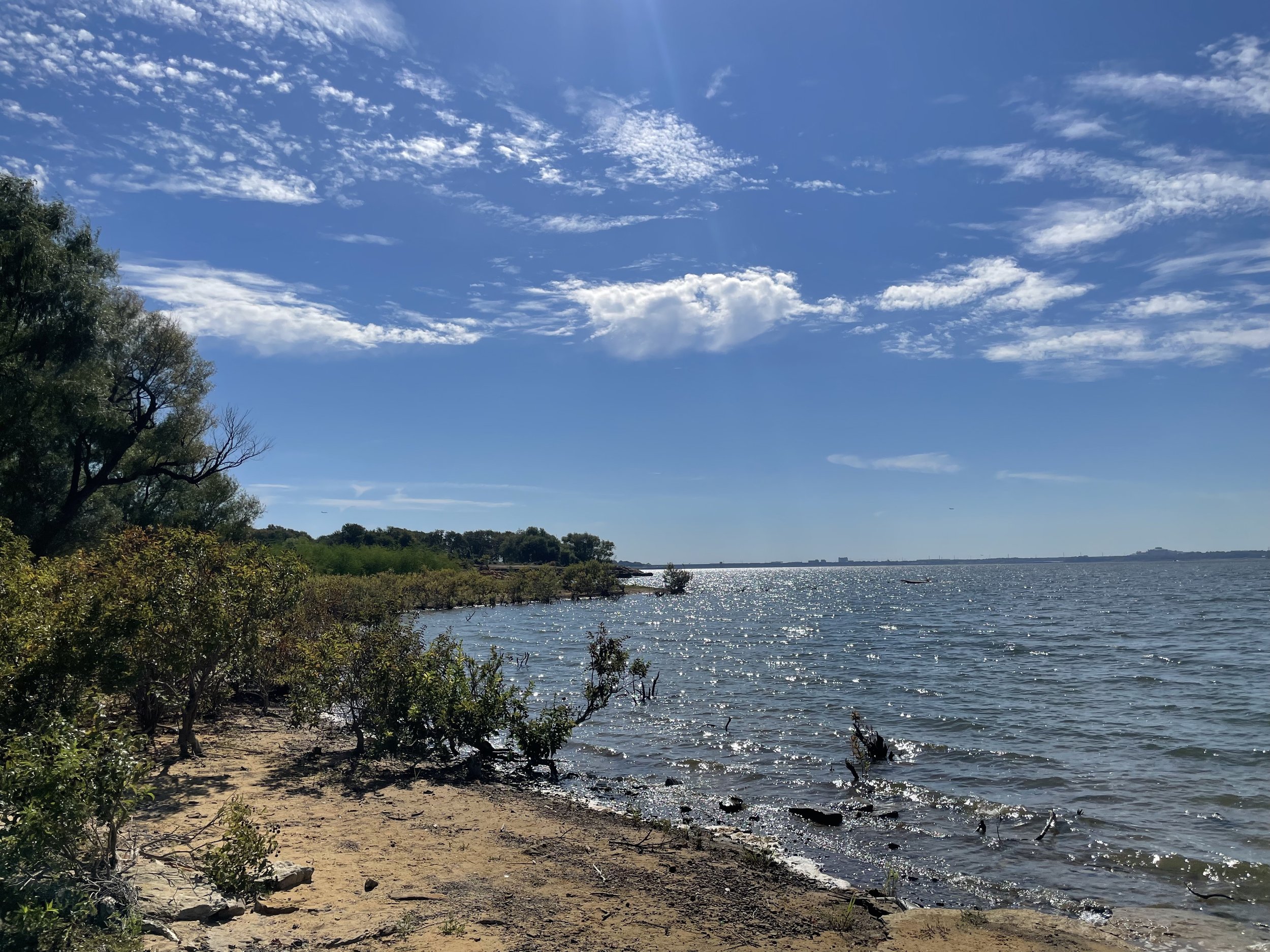
Lake Grapevine from Murrell Park

Blues and greens together are the most calming combination to humans


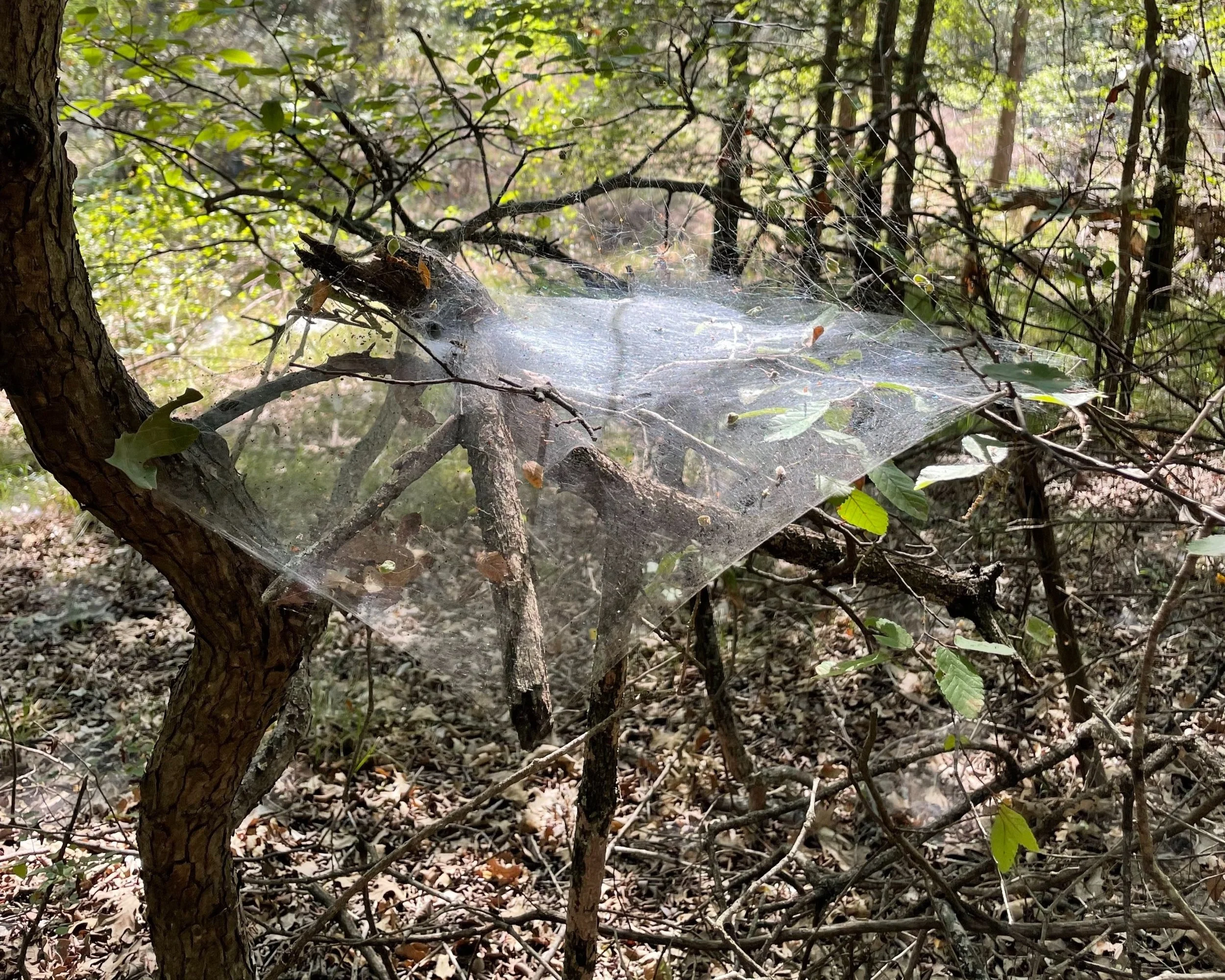
I learned these aren’t spider webs, but are made by Fall Webworms or Eastern Tent Caterpillars

Trails were very well marked! Thanks, DORBA!

You’ll cross some small streams, depending on rainfall, but bridges are provided for easy crossing


Bamboo Forest


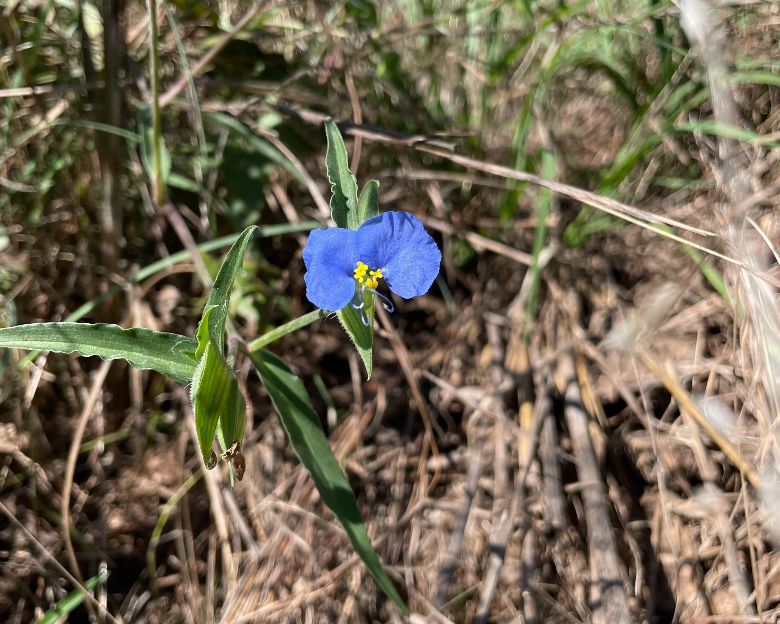
What a beauty!
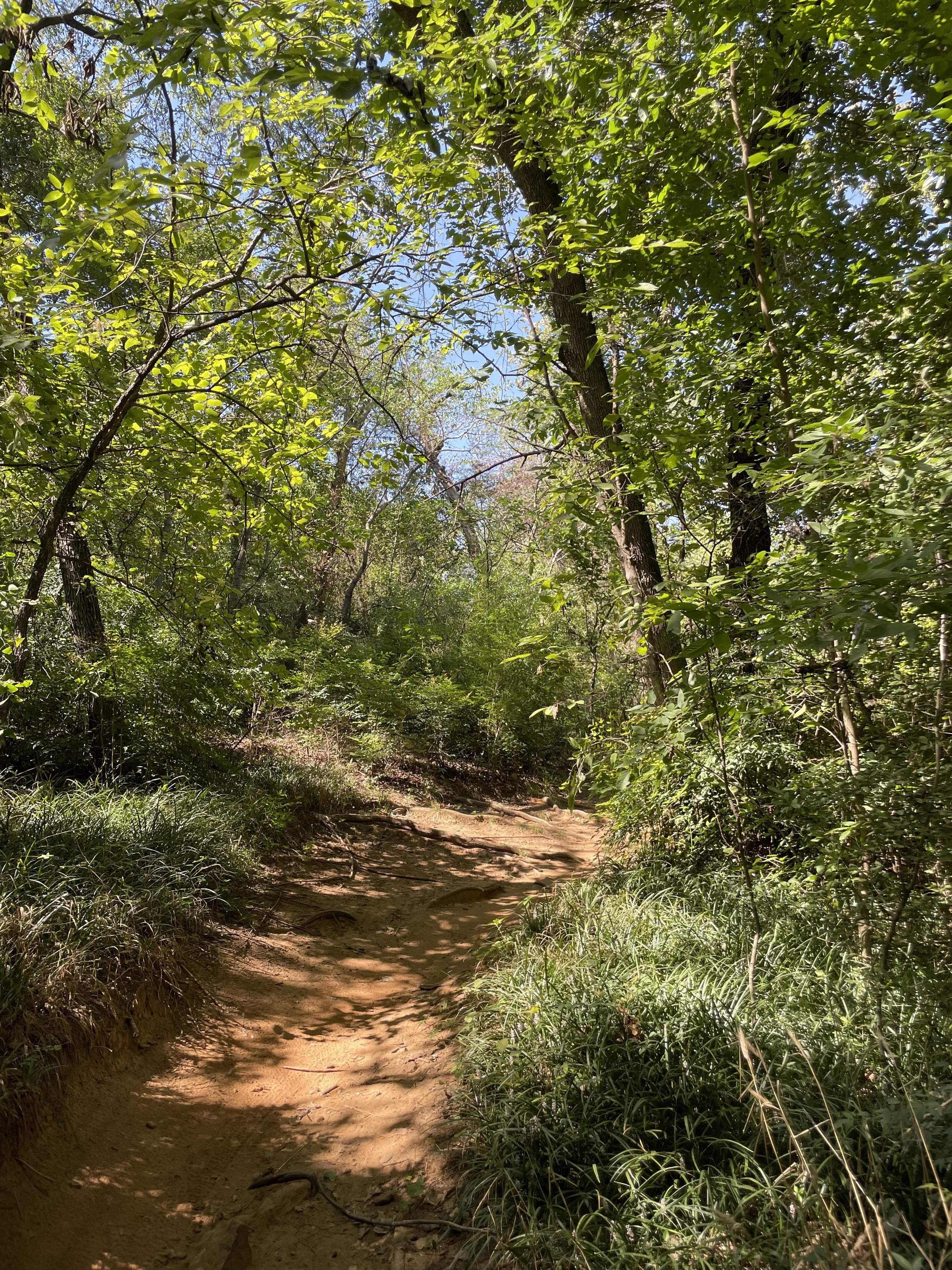
Lush green forests


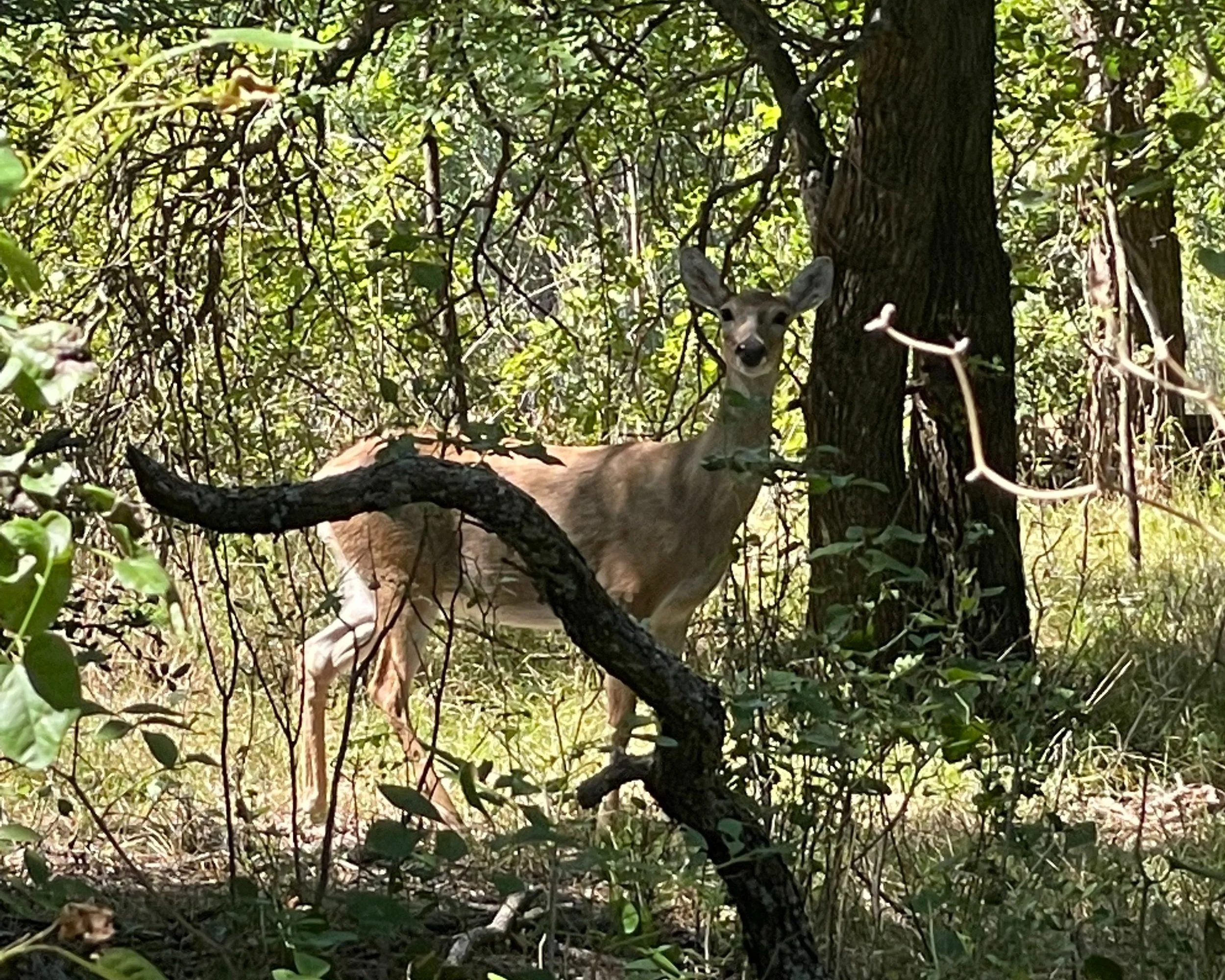
White tailed deer
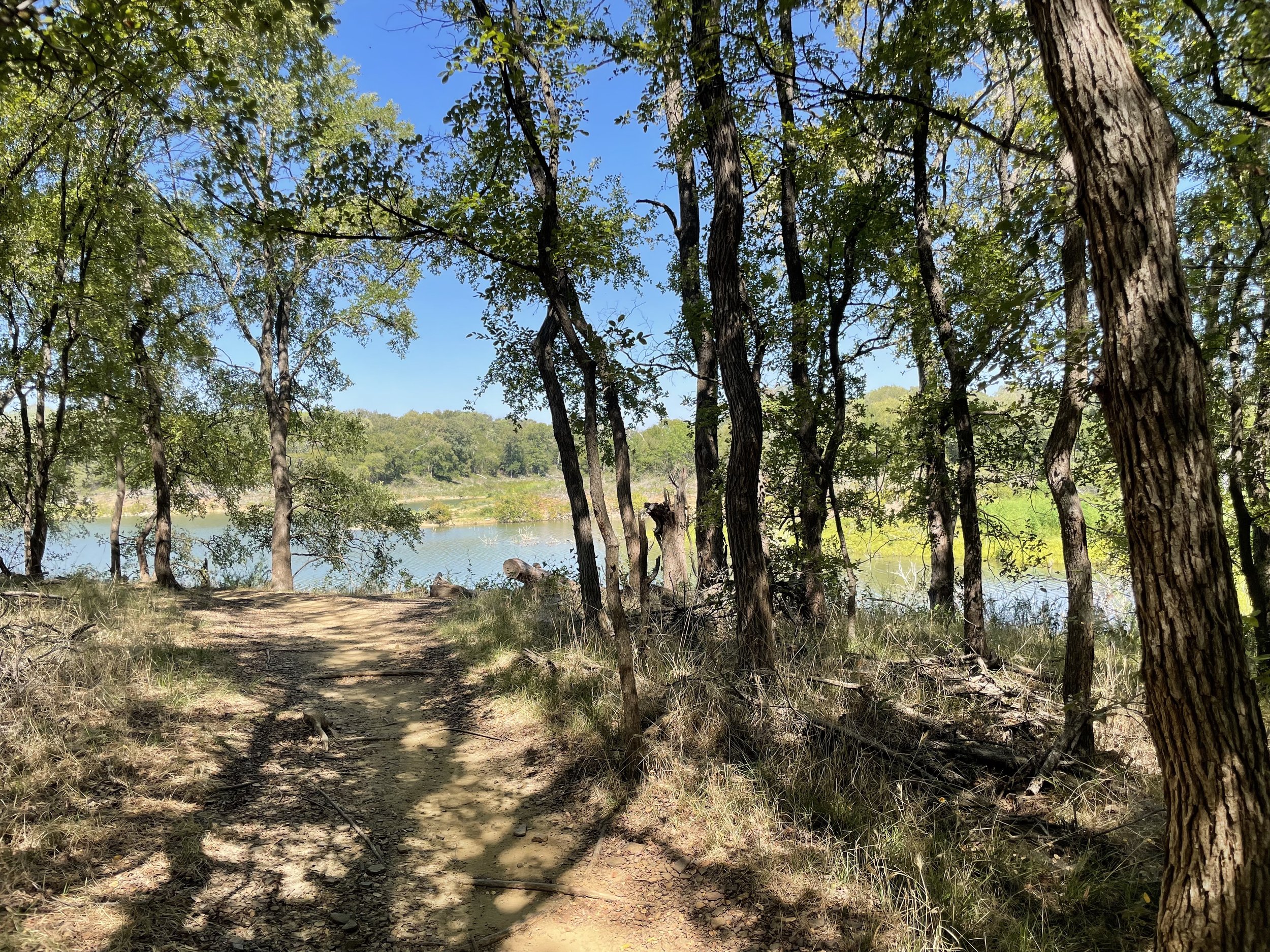
About 3.5mi into the hike, we were on the route back toward the car and finally saw the lake from the trail! Such a sweet reward.


MADD Shelter and Parking Area with Trail Map


Mountain bike adventure with a big drop


For those who like maps, this was the hiking route captured on Garmin.